Call us on 01688 400682

walks on mull Archive

Geocaching on Mull: Five to Find

Think of it as a treasure hunt that every generation can enjoy. Geoacaching on Mull is a great way to find inspiration for walks to try, as you set off on new routes with a mission in mind: finding the cache! It might be hidden beneath a rock, tucked inside a tree stump or wedged within an old stone wall, or it may be stowed somewhere else entirely!

Geocaching on Mull will cultivate your curiosity as you explore new corners of the island that you might not have visited before. So, how can you get involved and where should you begin?

First, you’ll need to prepare your treasure hunting tools – that means having a GPS device, or a geocaching app downloaded to your phone to guide you once out hunting. You can also join geocaching.com, which is a great place to find cache coordinates and record your progress as you go.

Here are some of our favourite geocaching sites to discover on Mull:

Treshnish whisky cave

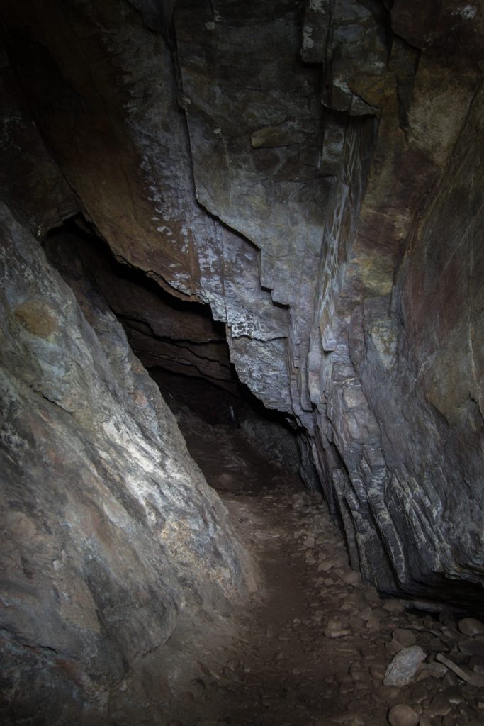
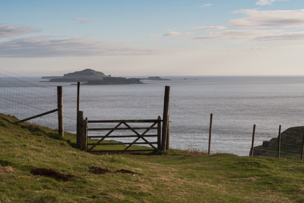
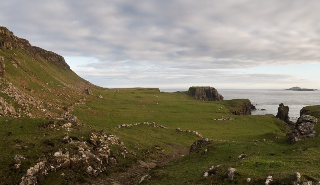
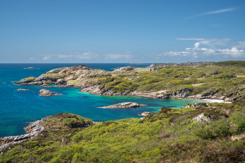
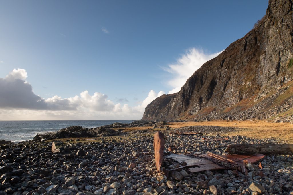
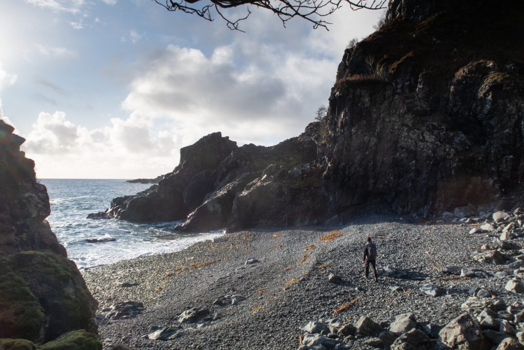
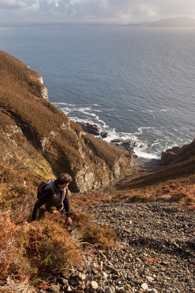
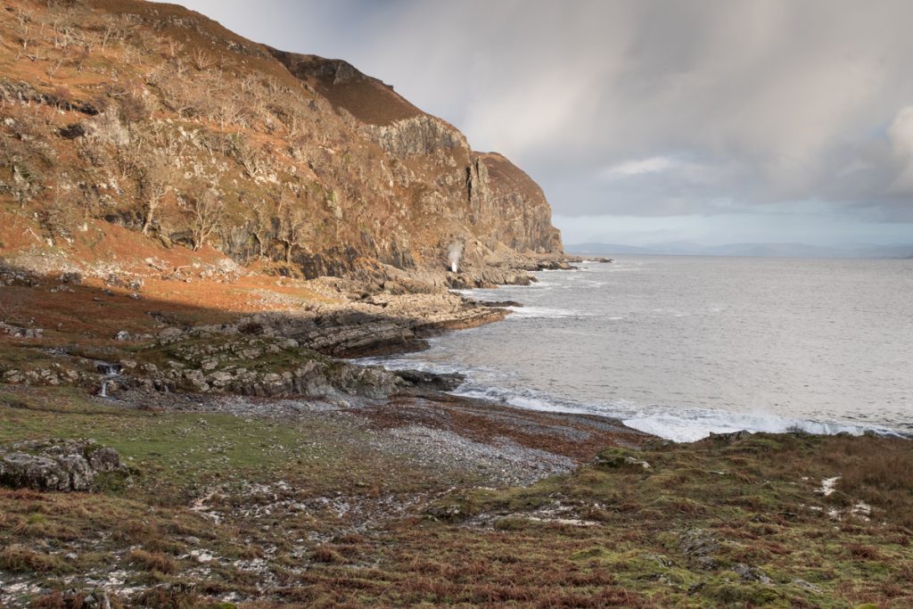
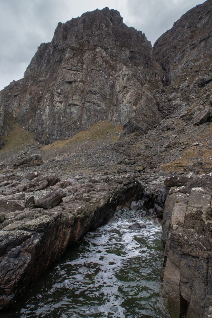
1 The whisky cave at Treshnish

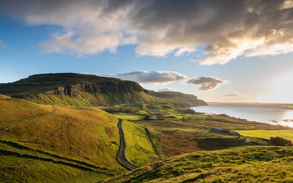
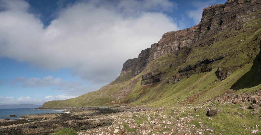
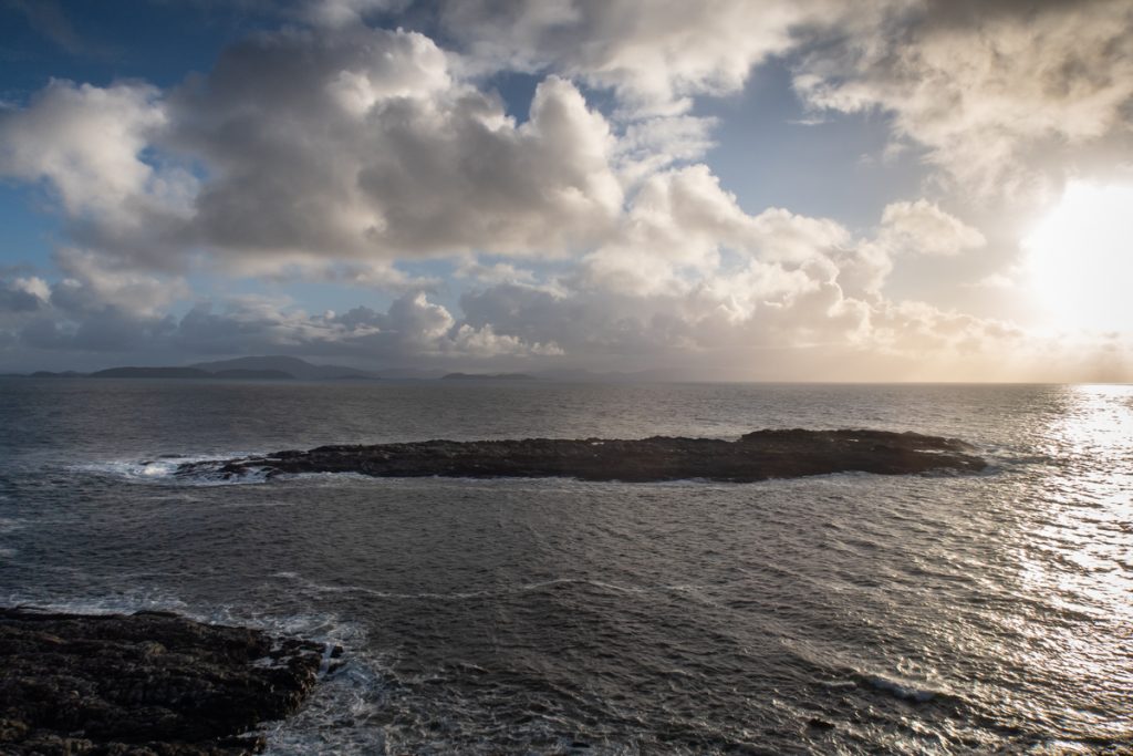
One of Mull’s best walks in its own right, you’ll pass through wildflower meadows and along dramatic coastline where the Treshnish Isles appear impossibly close. If you can tear your eyes away from the stunning scenery, then there are a number of caches to search for here, including in the whisky cave.

Standing stones at Glengorm

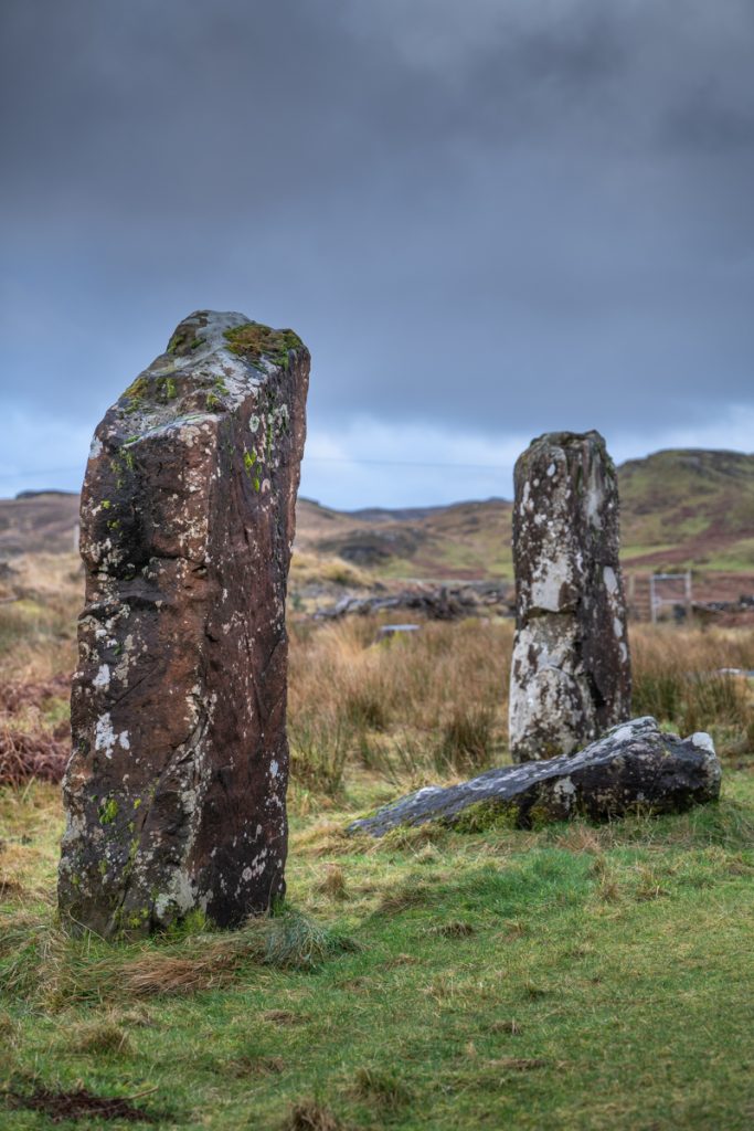
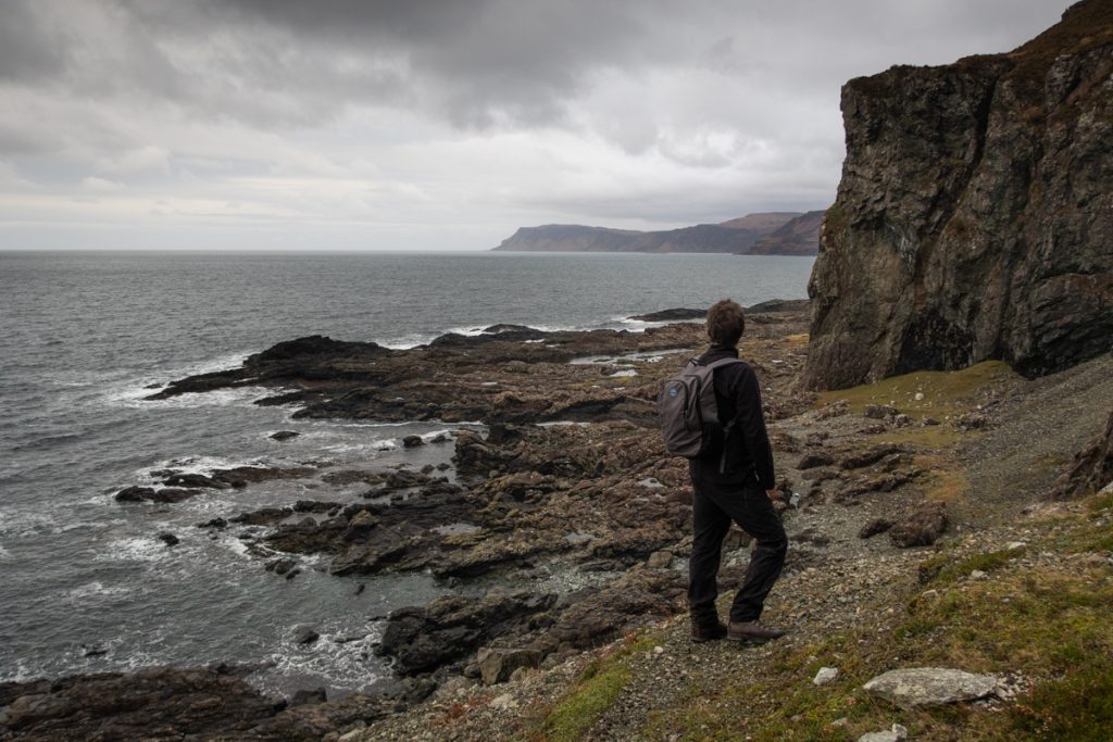
2 The standing stones at Glengorm

After setting your coordinates and sussing out the location of this cache, it’s only a short walk through stunning coastal scenery, with great views of Glengorm Castle and often passing Highland coos, to reach the wonderful café at Glengorm. Don’t miss the hearty soups, delicious burgers made with Glengorm beef and the mouth-watering array of cakes.
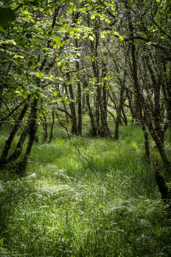
Woodland walk in Salen

3 Salen Woods

A lovely circular walk that’s popular with locals climbs up through woodland, where at the high point fantastic views open up across to the Sound of Mull. Add a sense of adventure to this well-trodden footpath by finding the coordinates that conceal the cache.
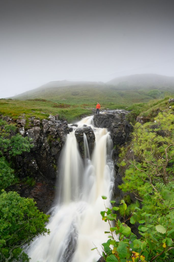
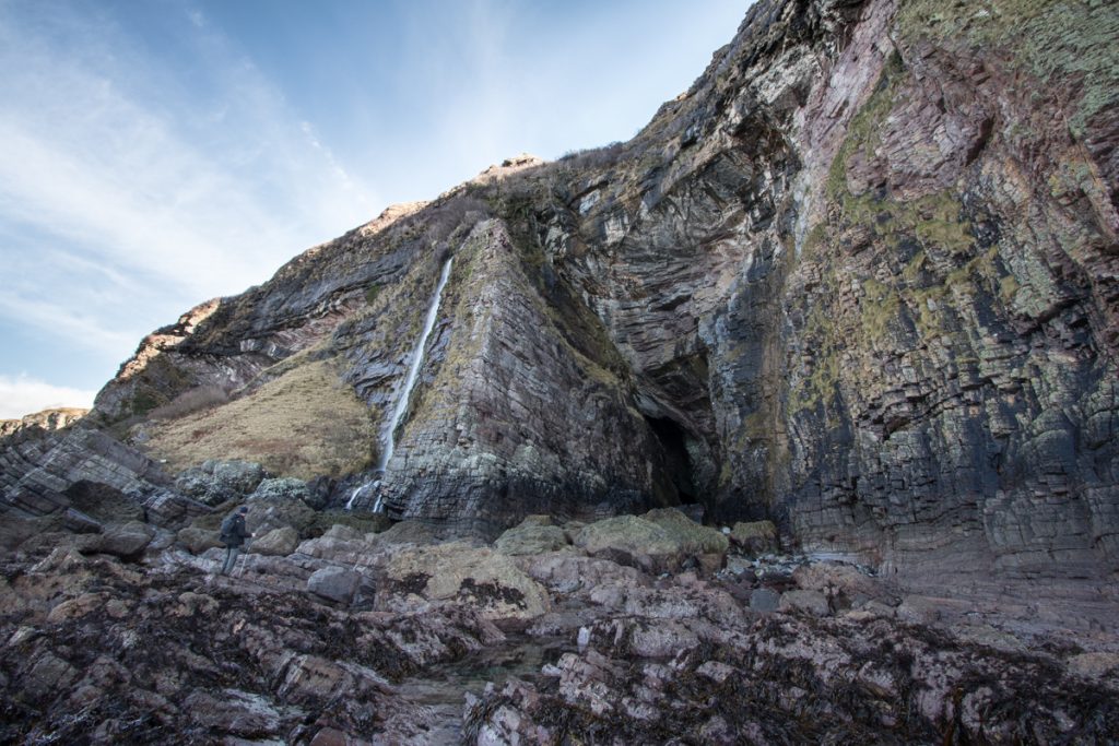
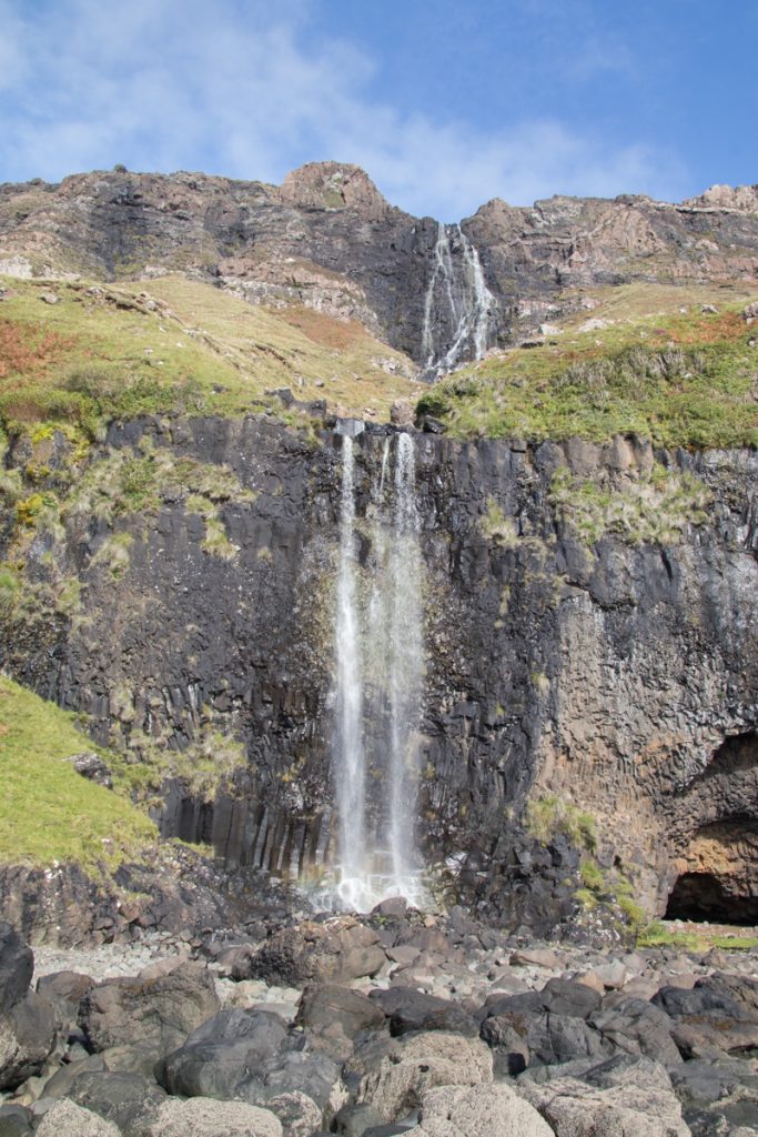
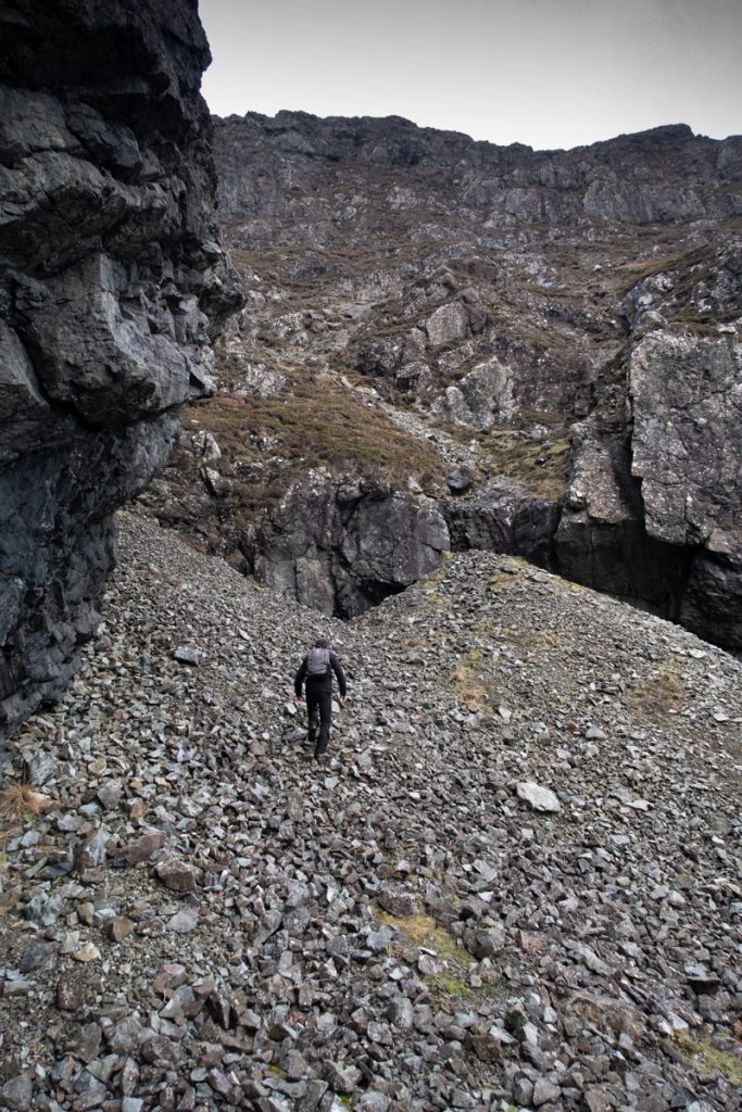
Eas-Fors-waterfall
Guest image by Ben Ferguson – please take care around the waterfall and keep well back from the edge!

4 Eas Fors

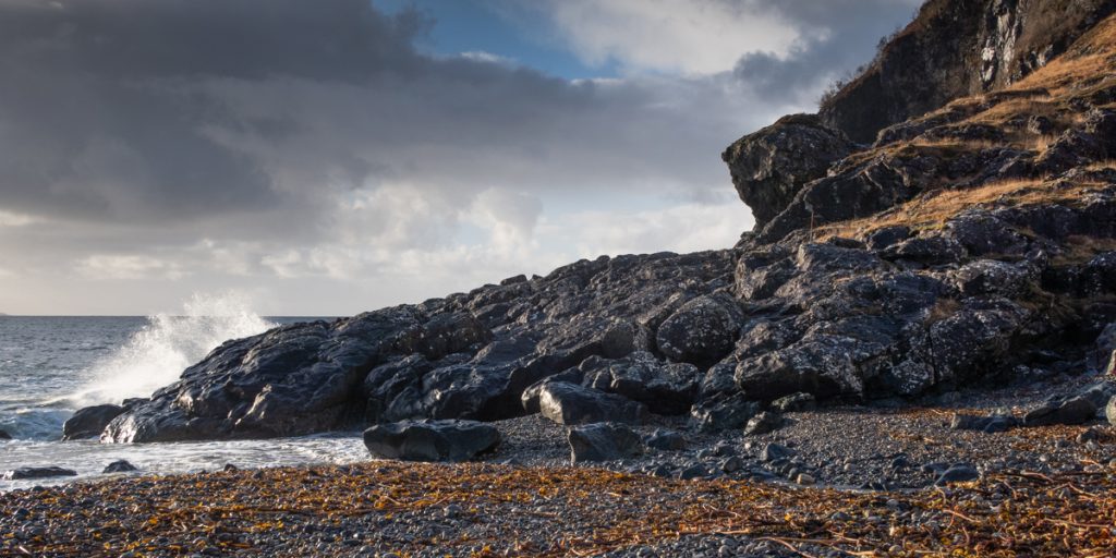
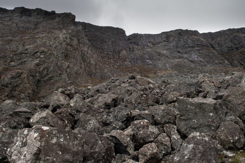
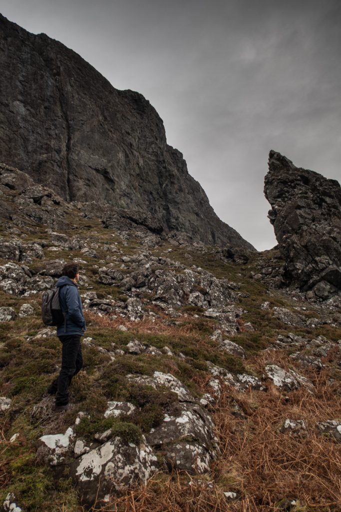
Over on the island’s remote west coast, Eas Fors waterfall cascades down the hillside before plunging into the sea loch below. A stunning view to enjoy as you search for the cache located in the surrounding area close by. If you choose to venture close to the waterfall, please take great care around the slippery rocks and keep well clear of the drops and away from the edge.

Rubh nan Gall Tobermory lighthouse

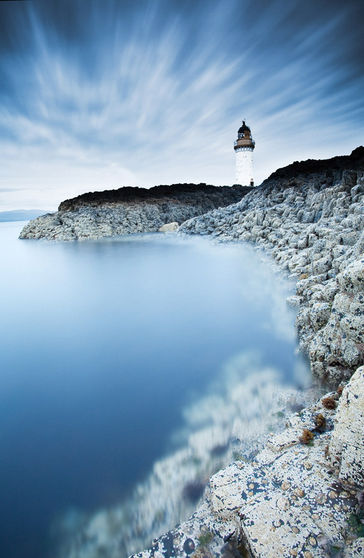
5 Rubh nan Gall Lighthouse

A wonderful there-and-back walk from the harbourfront in Tobermory, begin at the far end of the Main Street by the CalMac pier. Follow the footpath through coastal woodland to reach the beautiful lighthouse. There’s a lovely picnic bench and viewpoint along this path that makes a great place for a picnic after finding the cache.

As with all walks on Mull, be sure to choose routes that suit your ability and head out prepared. We hope we’ve inspired you to try geocaching on Mull and discover more of the island on foot.

Four Fantastic All-Day Walks on the Isle of Mull

Reconnecting with nature, recharging your batteries and exploring Mull’s most beautiful corners – this is the ambition of many who visit the island, and by simply carving a day out of your itinerary to dedicate to an all-day walk on the Isle of Mull, you can do exactly that.

Here are four ideas to get you started, with one for each corner of the island. Choose one or explore them all – the island is your oyster, enjoy it!

The view as you pass through the wildflower meadow, arriving at the dramatic coastal track.
The ‘false’ beach, with excellent views across to the Treshnish Isles to the west.

North Mull: The Treshnish Headland

This is a great choice for an all-day walk on the Isle of Mull that eases you in gently and rewards you with spectacular views. Beginning from the island’s west coast at the start of the Treshnish headland, just south of Calgary, a track takes you past Treshnish Farm and on towards the Coronation Meadow, where wild orchids and other native flowers grow in the breeze of the Atlantic.

Rounding the coast with views to the Treshnish Isles, you’ll pass over the ‘false’ beach – now a flat, grassy swathe, this was once at sea level! From here, the trail continues past the ruined village at Crackaig, before re-joining the single-track road to return to your starting point.

Rounding the headland as you make your way back towards Reudle.
Ruined villages found along the Treshnish walk, telling of more populous times before the Highland Clearances.

East Mull: Glenforsa and Ben Talaidh

Ben Talaidh in the distance, seen from Glenforsa with its resident Highland cows.
The propellor of the Dakota plane crash of 1945, which struck the mountain.
On your return, you can take an alternative route along the River Forsa.

Standing at almost 750m high, Ben Talaidh towers at the head of Glenforsa, and its iconic, conical peak can be seen from as far away as Tobermory in the island’s north east.

Climbing this Graham comes not only with fantastic scenery and views from the top though, as having followed the river Forsa through the farmed glen below, you’ll ascend past a bothy to the wreckage of a Dakota plane, which crashed into the mountain in 1945.

The summit affords excellent views across the island’s mountainous interior, west towards Loch Ba and Ben More, and east back to the Sound of Mull and mainland Scotland.

As you make your way through the glen, pass the MBA bothy at Tomsleibhe.
A wintry ascent of Ben Talaidh, with spectacular views to Mull’s mountainous interior.

South Mull: Tireregan Nature Reserve

The reward for your efforts is this remote and staggeringly beautiful stretch of coast.
The exquisite white sands of Traigh Gheal, so remote you’ll almost certainly be the only people there.

It always pays to be prepared when you head out walking on the Isle of Mull, but no where is this truer than of the Tireregan Nature Reserve. Although not featuring big ascents, the terrain here is challenging and you’ll navigate thick brush, woodland, bog and bracken as you make for the coast. For this reason, it’s a corner of Mull that often goes unexplored, feeling truly remote and untouched.

The reward for your efforts? A taste of Mull’s true wilderness, a wildlife haven, and one of the most unspoilt and beautiful beaches on the island – Traigh Gheal.

Bog, brush and bracken make up much of the route, best suited to experienced walkers.
Fantastic views as you cross challenging terrain in the Tireregan Nature Reserve.

West Mull: Ardmeanach and The Burg

The northern side of the Ardmeanach peninsula, beyond Balmeanach.
The Ardmeanach peninsula, looking out towards Burg, where the route to the fossil tree leads.

Another of Mull’s wildernesses, the Ardmeanach peninsula extends between Loch Scridain and Loch na Keal on the island’s south west coast. From the Scenic Route to Salen heading north, turn off towards Tiroran just after the small settlement of Kilfinichen and the adventure begins. It’s best to check the tides in advance, as the Fossil Tree at the end of the trail requires a low tide.

As you head west along the peninsula, you’ll pass a memorial cairn and the remains of Dun Bhuirg, affording historical interest along the way. Tracing the coastline, the views are rugged and spectacular. The grand finale of this walk is the Fossil Tree, cast in basalt lava and reached by an equally dramatic ladder bolted to the rocks! The return route retraces your steps, with excellent opportunity to enjoy the local wildlife as you go.

Descend the metal ladder when the tide is out to marvel at the geology and fossil tree.
Stunning rock formations and fossils are striking features on this remote part of the coast.

Find more inspiration for short to all-day walks on the Isle of Mull in our guide, complete with OS maps, route descriptions and photos.

Multi-tiered waterfall on the Ardmeanach peninsula

Exploring one of Mull’s most remote corners: Laggan Deer Forest

The following photographic blog covers one of the Isle of Mull’s more remote and challenging areas, a lack of paths, difficulty navigating and tough terrain make this a serious expedition for the experienced only. This is not a suggested route!

Situated in the Isle of Mull’s south east the Laggan Deer Forest lies to the south west of Croggan on an area of land that is connected to the rest of Mull by two narrow isthmuses, one at Kinlochspelve, another at Lochbuie.

A glance at the map reveals that this is an area with interesting geology, history and some intriguing place names, from Glen Libidil, to Lord Lovat’s Cave.

Our day began with a spectacular sunrise over Loch Spelve, a large sea loch with a narrow opening to the Firth of Lorne at Croggan.

Starting our walk at Kinlochspelve by climbing the rugged hills via Gleann Bheag we began descending into Glen Libidil. There are many signs of former settlements on the hills here, thought to vary in age from the neolithic, to the medieval times up until recent history.

Glen Libidil means deep valley, or more accurately dale, an apt description that perfectly describes the lay of the land. There are areas of interest here for geology fans, including exposed Jurassic rocks and volcanic formations.

Remains of a building with a sunlit Ben Buie in the distance
Looking down into Glen Libidil

Reaching the coast at Glen Libidil there are excellent views over Argyll’s southern islands, including Scarba, Jura, Islay and closer to Mull the long chain of the Garvallachs. Winter gales had washed large quantities of kelp ashore, which was much appreciated by both the red deer and wild goats we saw dining in the area!

The view from the beach at Glen Libidil

From here we followed the coastline heading south east toward Frank Lockwood’s island. The terrain here is beautiful, a mixture of cliffs, gnarled oak trees, waterfalls and raised beaches. The sea views are superb and an eye should be kept open for passing porpoise and otters. To the skies there are common sighting of eagles and the majestic red deer appear to thrive in the area, perhaps justifying the name Laggan Deer Forest.

Also of note along this section of coast are the remains of a shipwreck most probably the RFA Maine a vessel that was being used as a hospital ship when it was wrecked ashore on 21 June 1914 in dense fog whilst sailing toward Oban. The ship struck Frank Lockwood’s island, however the remains of the vessel have now washed up over a very wide area.

Leaving the pebble beach at Glen Libidil
Remains of an atlantic Oak tree
Shipwreck remains are found along the coastline
The pebble beach at Uirigh na Salach, a marker of the start of some difficult coastal terrain

We paused for snacks and coffee at the beautiful pebble beach below Uirigh na Salach past which point we found the difficulty of the coastal terrain led us to backtracking to climb (some very steep ground!) uphill before descending again towards the bay of Port Ohirnie, one of the few sizeable bays along this rugged stretch of coastline and a listed anchorage for boats.

Port Ohirinie has an area of gently sloping ground with mature oak and ash trees along the coast. The beautiful Allt Ohirnie and Allt Bealach Luirginn combine to form a small river which flows into the bay. The remains of a small bothy or possible black house sit to the eastern side of the bay.

Looking back to the coast over some very steep terrain
Port Ohirnie and the view to the east (note the blowhole along the coast)

Continuing on we rounded Rubha nam Fear before the views over Frank Lockwood’s island open up. Frank Lockwood was a Liberal MP of the city of York and was said to be fond of visiting the island from Lochbuie in a rowing boat. The low lying island is host to a variety of birds and must have stunning views back towards Mull’s coast, which is especially rugged and dramatic in this area.

Frank Lockwood’s island

From here onward the terrain again becomes increasingly difficult. passing between huge cliffs and steep boulder and scree fields we headed north aiming for Rubha na Faolinn with plans for exploring some of the incredible geology and features along the way.

The cliffs of An Garradh reach 300m above sea level
Traversing below the cliffs
Shipwreck remains on the coast
From sea level to 270m near Bealach Luirginn

As we neared Lord Lovat’s bay we were optimistic that we may be able to explore Lord Lovat’s Cave. During the 1745 Jacobite rebellion Lord Lovat hid here in a cave with a chamber of around fifty feet in length. Lovat was a Jacobite and clan chief, known to switch allegiances at points he was eventually defeated at the Battle of Culloden and beheaded. During his time int he cave he was helped by the owners of Lochbuie House who supplied with with provisions.

Unfortunately a landslide of rocks has blocked the entrance to the cave, so our exploring was limited! However the area does still has a special feel to it if you are feeling imaginative!

Looking over Lord Lovat’s Bay
The blocked entrance to Lord Lovat’s Cave
Sunset over Laggan and Lochbuie

Our route continued around the coast towards the stunning Laggan and Lochbuie, one of Mull’s most picturesque areas to visit. We opted to explore some of the hill country here too, before finishing our day with assistance of head torches!

If you would like to plan your next day out on the island then you may be interested in our series of more conventional walking routes, all detailed with Ordnance survey maps with routes marked on and photographs of the terrain: Isle of Mull Walking Guide

A winter walk up Ben More, Mull’s Munro

A winter ascent of Ben More

As the highest point on the Isle of Mull, and Scotland’s only Munro that is accessible only by boat, a walk up Ben More is often on the ‘to do’ list for visitors to the island.

Ben More on the Isle of Mull with a covering of snow

Looking across Loch na Keal and Eorsa at Ben More on Mull

At 966 meters in height, Ben More towers over the island’s other hills.  Not only do you get a stunning, 360-degree view, but you also get the acute sense of altitude that this sort of elevation creates. With no neighbouring mountains of comparable height, Ben More really does feel like the highest point around!

The simplest route to the summit starts on the shore of Loch na Keal at Dhiseig.  From here a marked path leads up the broad flank of the hill to the circular summit cairn.  Simple.  To experience our island Munro at its most dramatic though, arguably the best route is a circular traverse of Beinn Fhada to A’Chioch and then along the ridge to Ben More. This route involves some scrambling (see the map below).  Let’s take a look at this route as it was on a fine winter’s day!

Beinn Fhada ridge with a person walking

Walking along the Bheinn Fhada ridge with Gribun and Ulva in the distance

Ben More on Mull's north face and snowdirfts

Hiker walking through snow drifts with the north face of Ben More in the distance

Having parked the car off the road along the shore of Loch na Keal, we began the walk by following the burn (Abhainn na h-Uamha), which has a series of spectacular waterfalls along its course. Feeling lucky that we had chosen such a clear, crisp day, we then headed uphill to crest the ridge of Beinn Fhada. At this point the views are just incredible. Looking back you can see the curve of the Gribun cliffs, the islands of Ulva and Eorsa, Staffa, and the Treshnish Isles. Up ahead, Ben More and the ridge look really inviting.

The Ben More circuit walk on the Isle of Mull

Frozen lochan on Beinn Fhada with walker surveying the scene

Walker climbs A'Chioch on Mull

Climbing A’Chioch with Glen Clachaig below and to the right

A'Chioch on Mull in winter with the sun

Winter sun blazing as a walker climbs the A’Chioch ridge on Mull

After a short sharp climb to the summit of Beinn Fhada (702m), with jelly babies providing the extra fuel we needed, we headed west and began the climb of A’Chioch (867m).  The views here are superb, and picking our way up towards the summit through snow drifts was great fun!  We were lucky that the winds weren’t strong at this point, so we were able to enjoy settled conditions and sunshine.

The final traverse over the ridge to Ben More was relatively straightforward, though the final section involves some scrambling. Just at the point where your legs are starting to ask for a rest, the ridge narrows to just a few meters wide and has significant drops on both sides, which help sharpen the senses!

View over Mull's interior

Looking west over the Isle of Mull with the mainland mountains visible in the distance

Ben More ridge on Mull in winter

Surveying the way ahead to the summit of Ben More

Walker heads towards the Ben More ridge

Starting to traverse the Ben More ridge

A'Chioch on Mull

Looking back along the ridge to A’Chioch

wind-blowing-snow-mull

Wind swirls snow into the air on Ben More

descending-ben-more-mull

Beginning the descent

From the summit of Ben More we followed the line of cairns that descend the hill back towards Loch na Keal.  After the rugged drama of the east face of the hill, this side seems very rounded and gentle, and the walking easy.  The wind picked up at this point for us, blowing ice around and creating some spectacular conditions:

ben-more-winter-mull

Ice and snow blows across the hill during the descent

walker-mull-cairns

Following the cairns with the Treshnish Isles in the distance

We finished the walk feeling battered but not broken. No matter which time of year or by which route you choose to climb Ben More, it is always a memorable experience and well worth the effort.

www.isleofmullcottages.com/isle-of-mull-walking.html

ben-more-map

Ben More OS map route


Note: Hill walking has inherent risks and dangers.  Conditions change quickly and navigation can be difficult.  Always make sure you are well prepared for any conditions and have the correct level of experience for your chosen route.