Call us on 01688 400682

walking guides Archive

Four Fantastic All-Day Walks on the Isle of Mull

Reconnecting with nature, recharging your batteries and exploring Mull’s most beautiful corners – this is the ambition of many who visit the island, and by simply carving a day out of your itinerary to dedicate to an all-day walk on the Isle of Mull, you can do exactly that.

Here are four ideas to get you started, with one for each corner of the island. Choose one or explore them all – the island is your oyster, enjoy it!

The view as you pass through the wildflower meadow, arriving at the dramatic coastal track.
The ‘false’ beach, with excellent views across to the Treshnish Isles to the west.

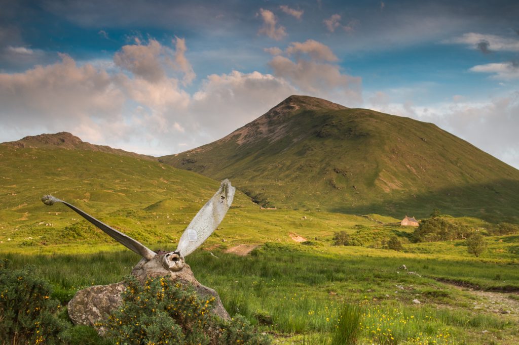
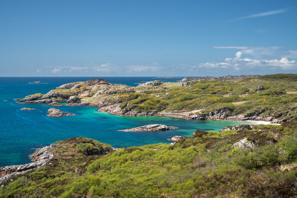
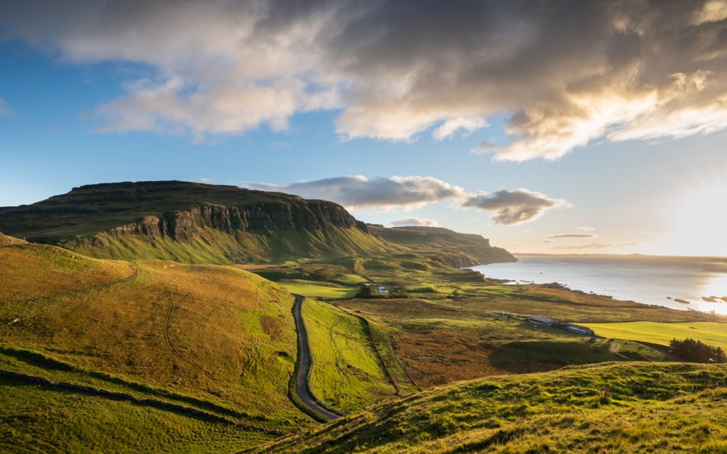
North Mull: The Treshnish Headland

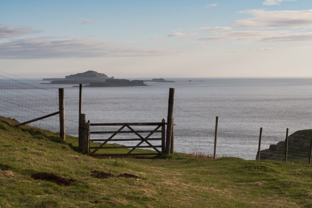
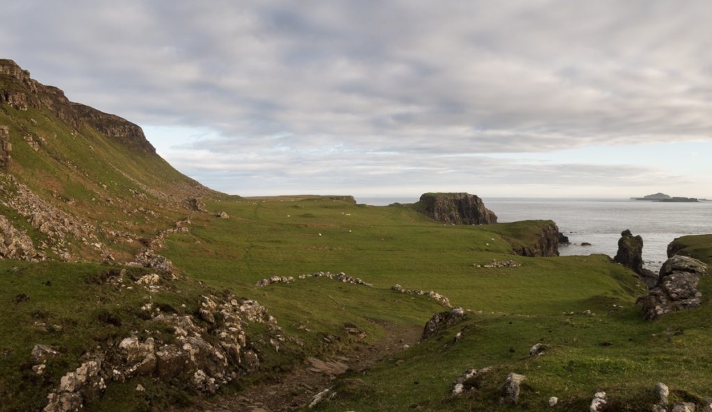
This is a great choice for an all-day walk on the Isle of Mull that eases you in gently and rewards you with spectacular views. Beginning from the island’s west coast at the start of the Treshnish headland, just south of Calgary, a track takes you past Treshnish Farm and on towards the Coronation Meadow, where wild orchids and other native flowers grow in the breeze of the Atlantic.

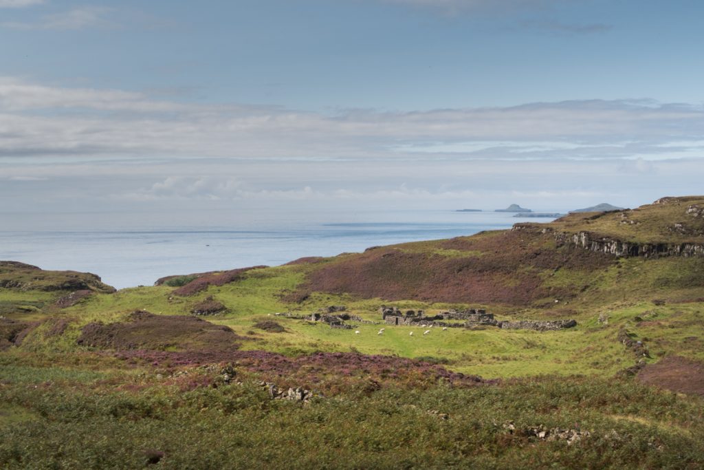
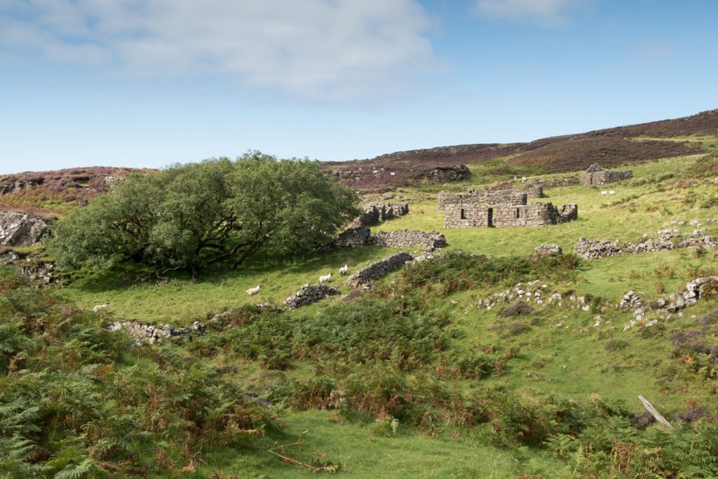
Rounding the coast with views to the Treshnish Isles, you’ll pass over the ‘false’ beach – now a flat, grassy swathe, this was once at sea level! From here, the trail continues past the ruined village at Crackaig, before re-joining the single-track road to return to your starting point.

Rounding the headland as you make your way back towards Reudle.
Ruined villages found along the Treshnish walk, telling of more populous times before the Highland Clearances.

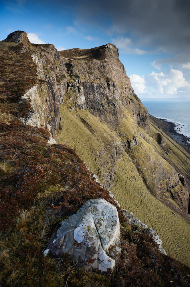
East Mull: Glenforsa and Ben Talaidh

Ben Talaidh in the distance, seen from Glenforsa with its resident Highland cows.
The propellor of the Dakota plane crash of 1945, which struck the mountain.
On your return, you can take an alternative route along the River Forsa.

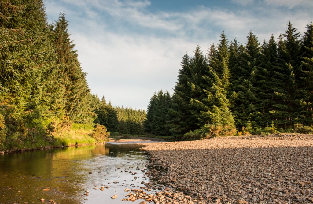
Standing at almost 750m high, Ben Talaidh towers at the head of Glenforsa, and its iconic, conical peak can be seen from as far away as Tobermory in the island’s north east.

Climbing this Graham comes not only with fantastic scenery and views from the top though, as having followed the river Forsa through the farmed glen below, you’ll ascend past a bothy to the wreckage of a Dakota plane, which crashed into the mountain in 1945.

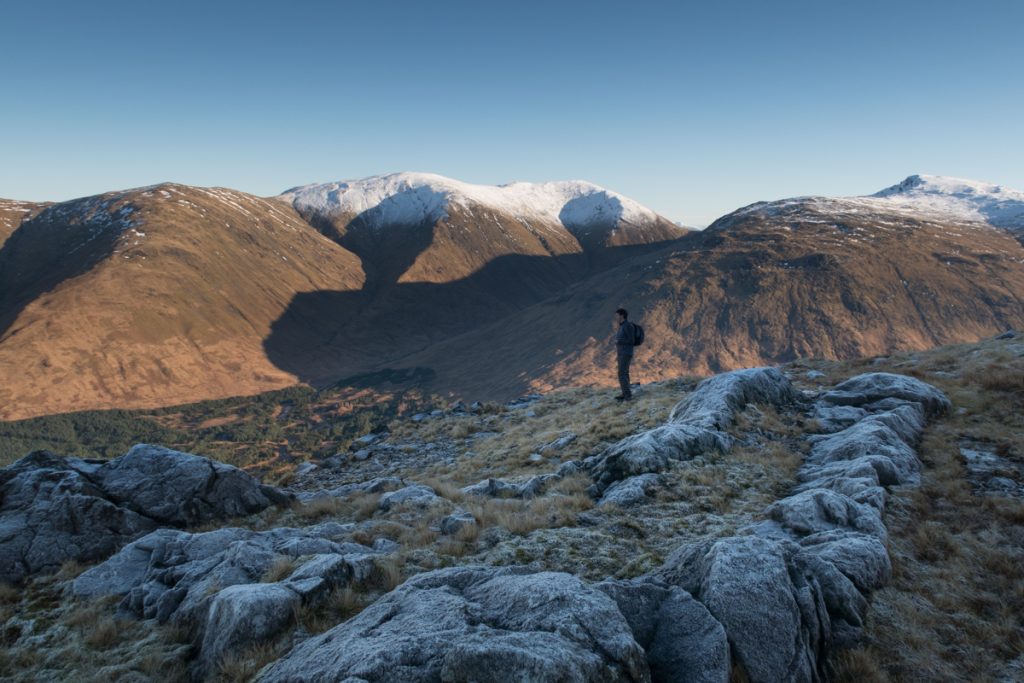
The summit affords excellent views across the island’s mountainous interior, west towards Loch Ba and Ben More, and east back to the Sound of Mull and mainland Scotland.

As you make your way through the glen, pass the MBA bothy at Tomsleibhe.
A wintry ascent of Ben Talaidh, with spectacular views to Mull’s mountainous interior.

South Mull: Tireregan Nature Reserve

The reward for your efforts is this remote and staggeringly beautiful stretch of coast.
The exquisite white sands of Traigh Gheal, so remote you’ll almost certainly be the only people there.

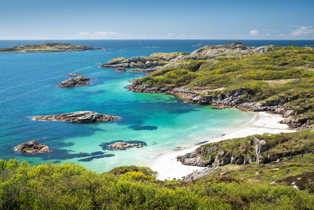
It always pays to be prepared when you head out walking on the Isle of Mull, but no where is this truer than of the Tireregan Nature Reserve. Although not featuring big ascents, the terrain here is challenging and you’ll navigate thick brush, woodland, bog and bracken as you make for the coast. For this reason, it’s a corner of Mull that often goes unexplored, feeling truly remote and untouched.

The reward for your efforts? A taste of Mull’s true wilderness, a wildlife haven, and one of the most unspoilt and beautiful beaches on the island – Traigh Gheal.

Bog, brush and bracken make up much of the route, best suited to experienced walkers.
Fantastic views as you cross challenging terrain in the Tireregan Nature Reserve.

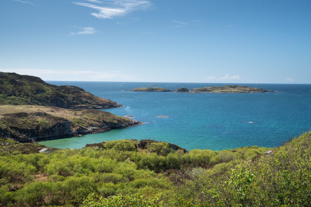
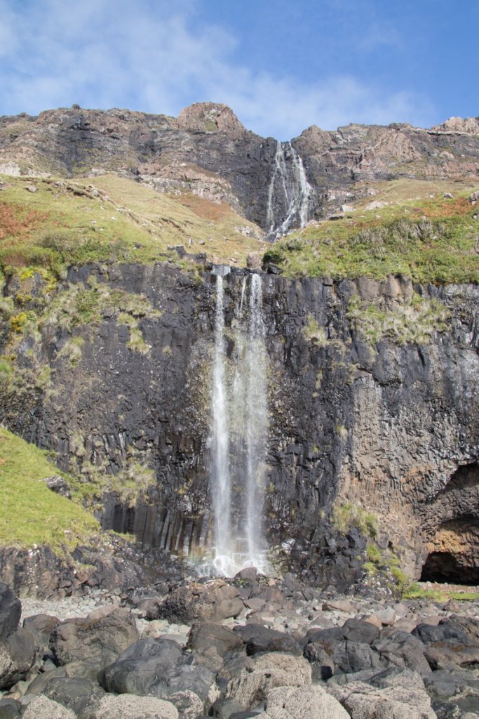
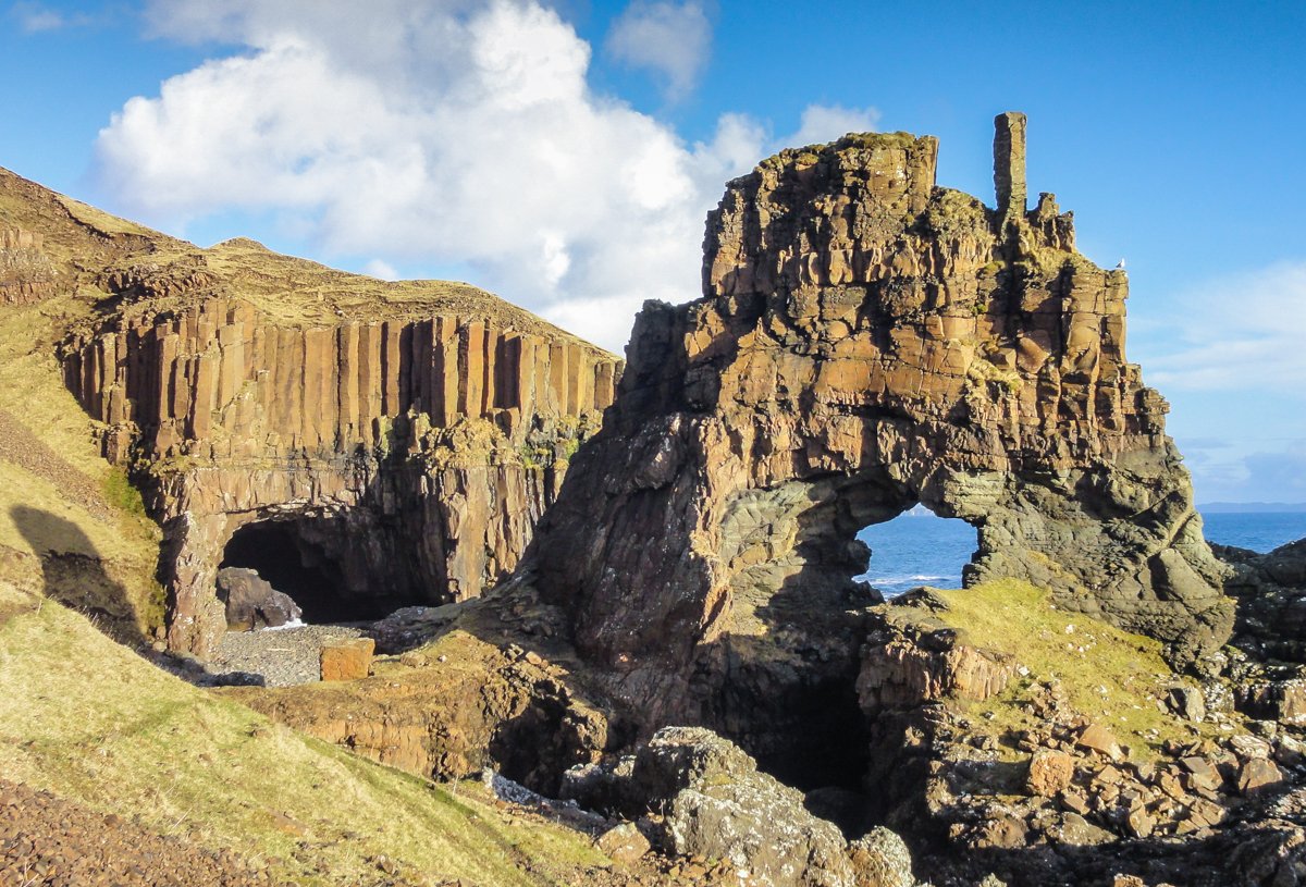
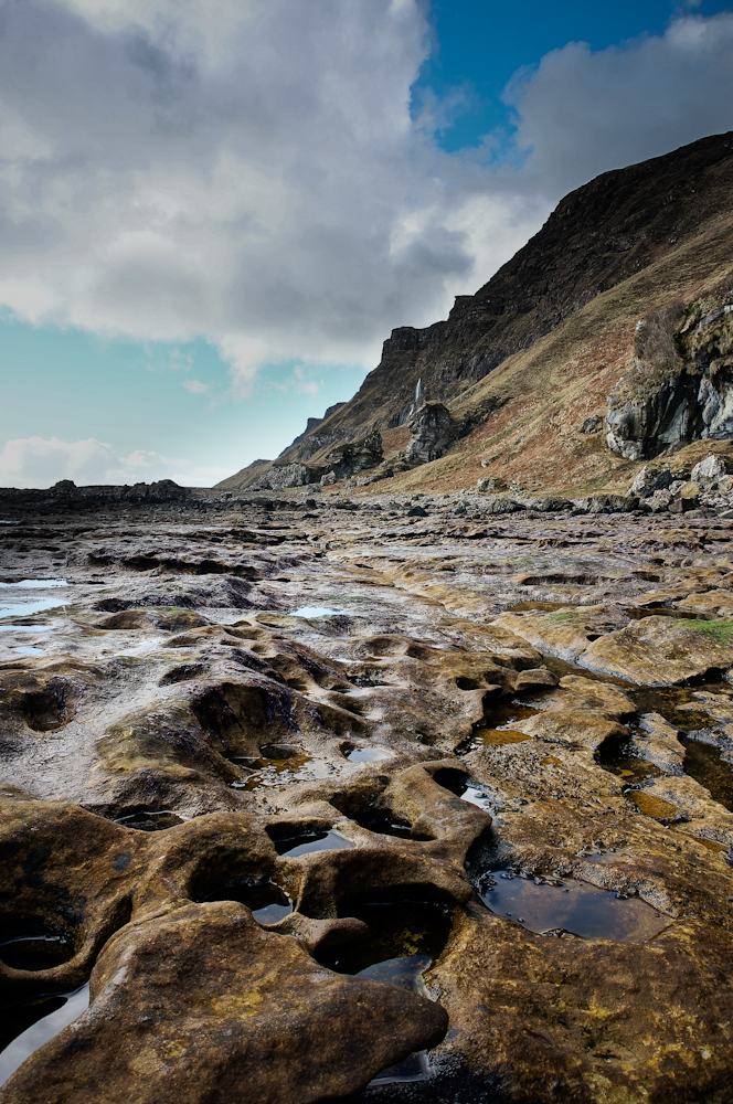
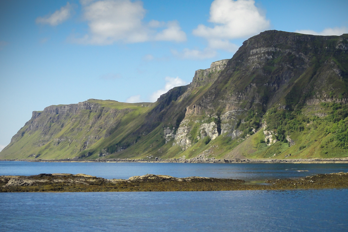
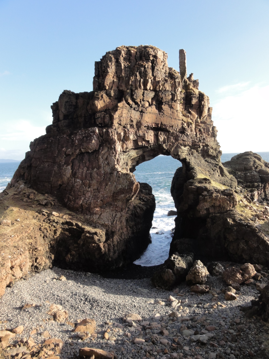
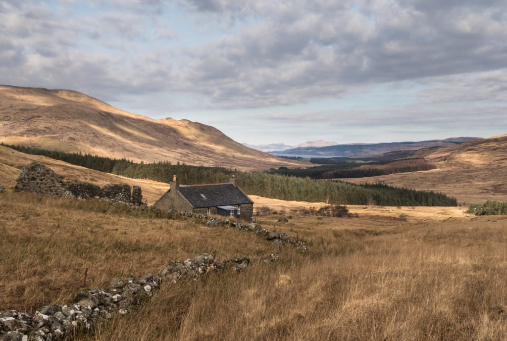
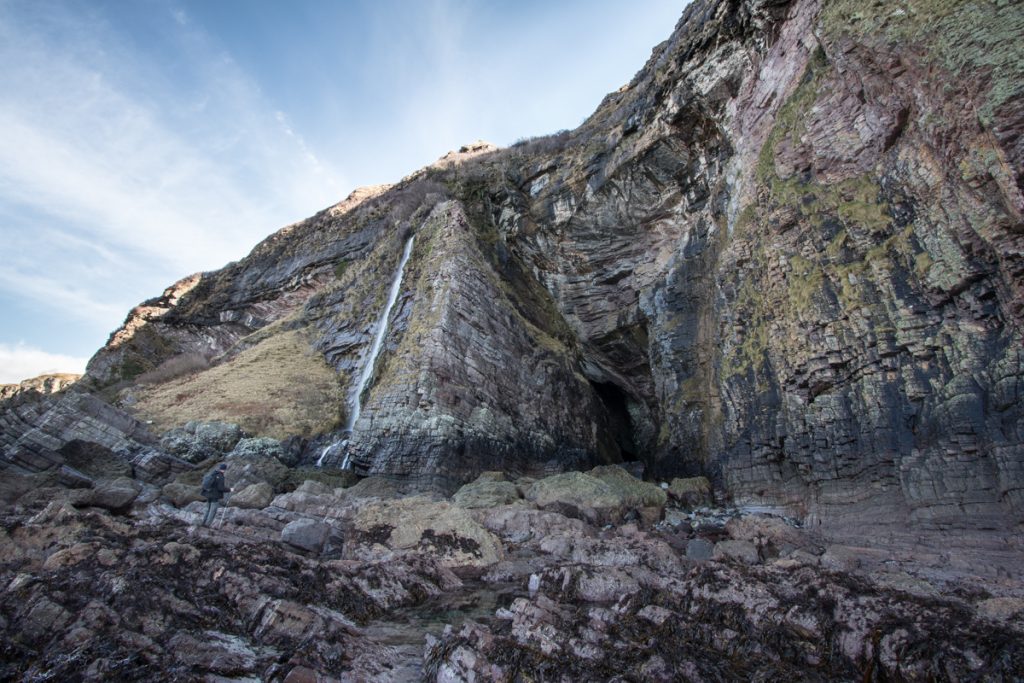
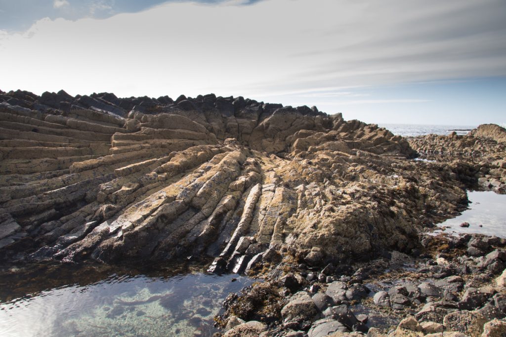
West Mull: Ardmeanach and The Burg

The northern side of the Ardmeanach peninsula, beyond Balmeanach.
The Ardmeanach peninsula, looking out towards Burg, where the route to the fossil tree leads.

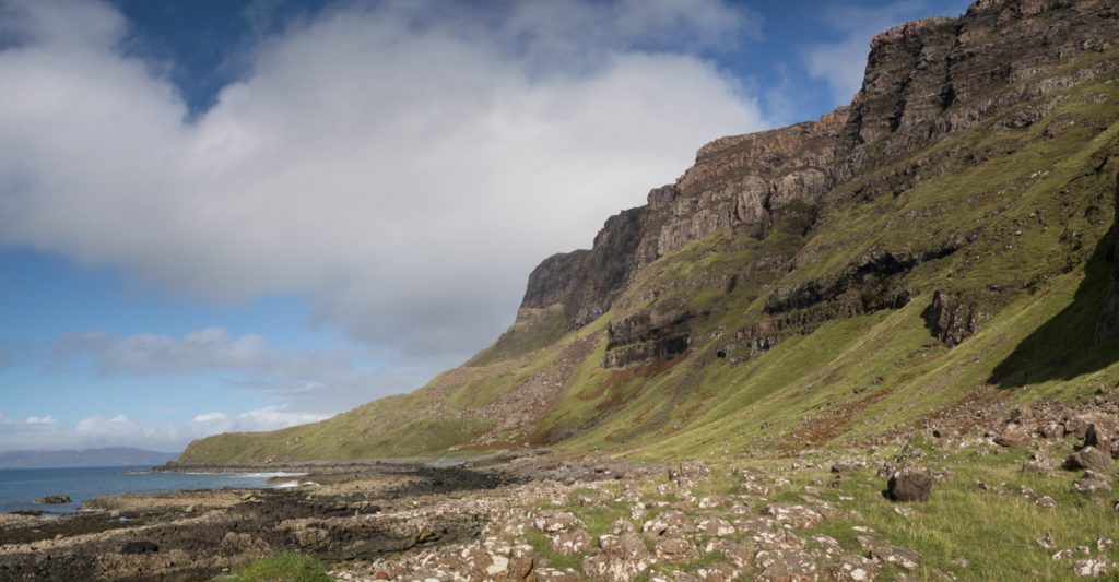
Another of Mull’s wildernesses, the Ardmeanach peninsula extends between Loch Scridain and Loch na Keal on the island’s south west coast. From the Scenic Route to Salen heading north, turn off towards Tiroran just after the small settlement of Kilfinichen and the adventure begins. It’s best to check the tides in advance, as the Fossil Tree at the end of the trail requires a low tide.

As you head west along the peninsula, you’ll pass a memorial cairn and the remains of Dun Bhuirg, affording historical interest along the way. Tracing the coastline, the views are rugged and spectacular. The grand finale of this walk is the Fossil Tree, cast in basalt lava and reached by an equally dramatic ladder bolted to the rocks! The return route retraces your steps, with excellent opportunity to enjoy the local wildlife as you go.

Descend the metal ladder when the tide is out to marvel at the geology and fossil tree.
Stunning rock formations and fossils are striking features on this remote part of the coast.

Find more inspiration for short to all-day walks on the Isle of Mull in our guide, complete with OS maps, route descriptions and photos.

Multi-tiered waterfall on the Ardmeanach peninsula

Walking Guide: Carsaig Arches

Often heralded as one of the most challenging walks on Mull, a hike to the Carsaig Arches is undeniably also one of the most spectacular. It’s the uncompromising landscape that makes the route so tricky and yet so stunning. The way is punctuated by steep-sided cliffs and sheer drops, as well as being strewn with rocks. But it’s the same landscape that makes the experience so remarkable, even before you reach the arches themselves. For keen walkers, venturing to the Carsaig Arches is highly recommended.

Carsaig Arches in blue sky and sunshine, low tide.

Along the shoreline route, your gaze leads directly out to the sea south of Mull. On a clear day, it can land on neighbouring islands, or simply soak in the steady, rhythmic swell of the waves as they sweep in. Look out for Colonsay and Jura, unmistakable with its towering Paps, on the horizon.

Rock pools along the way to the Carsaig Arches

Follow the shoreline west to reach the Carsaig Arches.

It’s not a walk for those not physically prepared to put in the best part of a day navigating difficult ground over uneven, rocky shoreline. Take provisions to keep your energy levels up and stay hydrated. Pull on your sturdiest pair of walking boots, because when you reach the Carsaig Arches and take in the naturally eroded features first-hand, you’ll be glad you made the trip.


The walk to Carsaig Arches on Mull

Your journey begins on foot from the small parking area beside the pier at Carsaig. Getting here in itself is a bit of an adventure. Turning off just outside Pennyghael, follow a narrow lane down hill. You will first pass a waterfall and red phone box before reaching the pier and sea.

Keep an eye out for the seals that often claim these rocks for a spot to slumber. They won’t be the only wildlife you can expect to meet. Wild goats roam the cliffs here, and eagles aren’t uncommon sights overhead.

Carsaig Bay from sea level with lush green headland beyond

View of Carsaig Bay at the beginning of the walk.

Head west around Carsaig Bay to begin your journey to the Carsaig Arches. Following the coastline makes navigating reasonably straight forward, which is helpful when the terrain demands more of your attention. Following the shore along enables you to appreciate the magnitude of the cliffs above, where you can still discern the different lava flows that formed much of Mull’s landscape 60 million years ago.

Interesting rock formations on the walk to the Carsaig Arches

The shoreline around Carsaig has interesting geology.

As you walk, you’ll gain a unique insight into Mull’s intriguing geology. If you’re ready for a break, take some time out to pay closer attention to the rocks. You can even locate the KT boundary in the cliffs along the route. This section in the rock dates back to the event that caused the extinction of the dinosaurs.

Steep hillsides around Carsaig

The route to the Carsaig Arches runs along the shore at the base of these cliffs.


Reaching the Carsaig Arches

When you near Malcolm’s Point, you have almost reached the Carsaig Arches. Just a short distance on from here delivers you an excellent view. Take your time to photograph the arches, eroded by the tides into the rock. They are another example of columnar basalt, which you’ll also see on a voyage to Staffa and Fingal’s Cave.

Second arch at Carsaig Arches, a challenging hike on Mull

The spectacular second arch, viewed at a distance.

It is possible to climb up to the second arch, but this comes with significant risks. The way is exposed, the path virtually non-existent and the drops to either side treacherous. For this reason, many prefer to take in the second arch from a safer vantage point, rather than ascending it. Return the way you came with a full camera and an amazing memory from your holiday on Mull. Discover more walks on Mull and check out a map of the route to the Carsaig Arches.

View through the second arch on the walk to Carsaig Arches

Waves crashing through the arch.

Note: Hill walking has inherent risks and dangers. Conditions change quickly and navigation can be difficult. Always make sure you are well prepared for any conditions and have the correct level of experience for your chosen route.