Most visitors to Mull will be familiar of our harbour capital, Tobermory, with its colourfully painted buildings and bustling fisherman’s pier. Make use of our guide to villages on the Isle of Mull to locate the best base for your holiday, from the pretty conservation village of Dervaig in the island’s north west, to the more remote villages of the Ross of Mull, like Bunessan and Fionnphort, as well as Salen on the east coast and Craignure in the south, where the ferry from Oban arrives.
North Mull

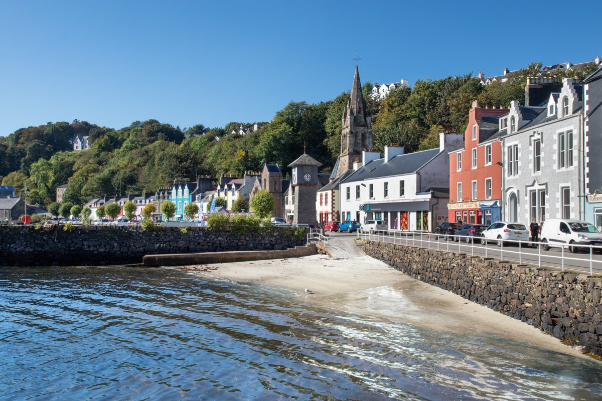
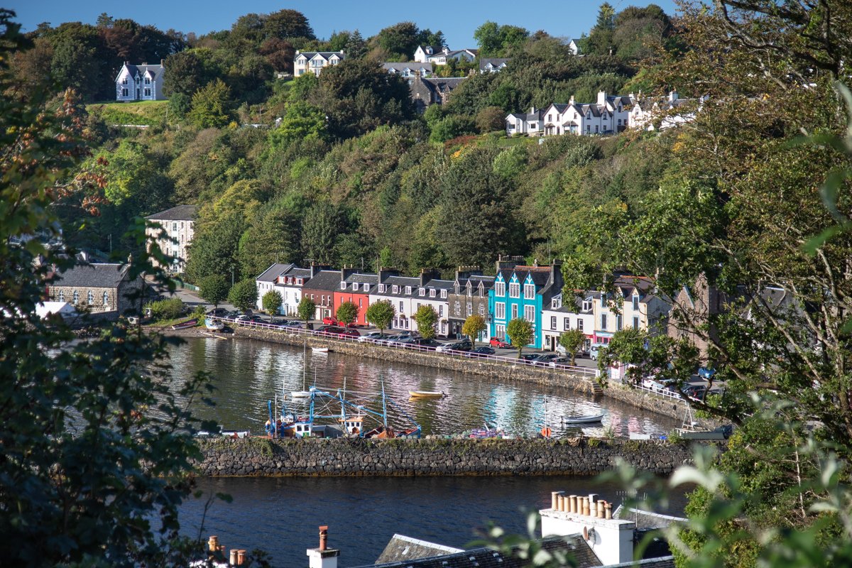
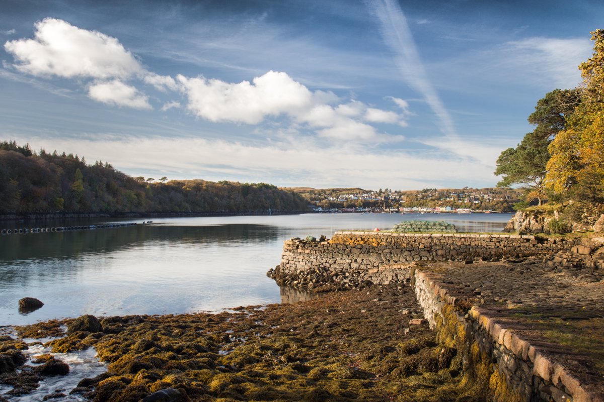
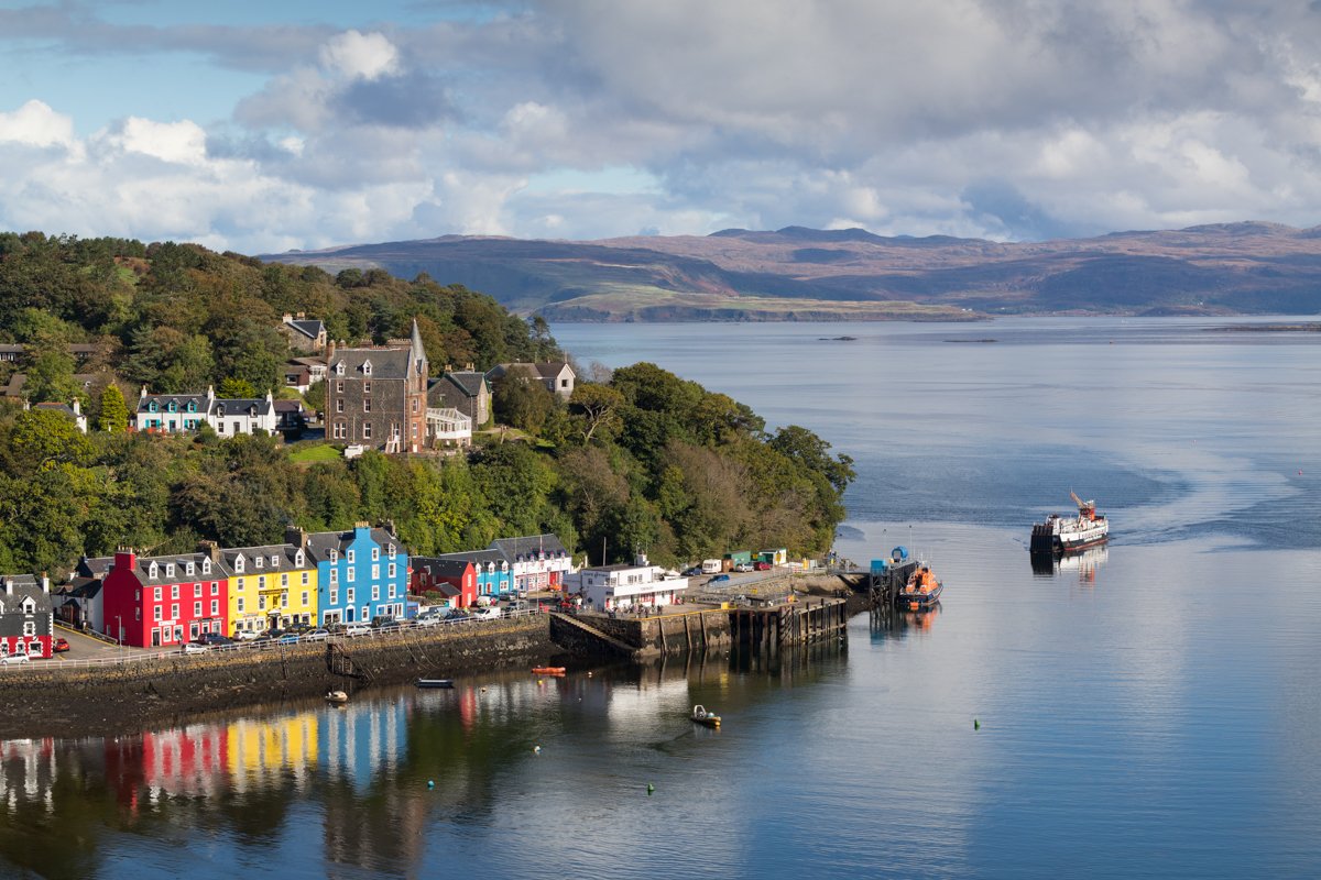
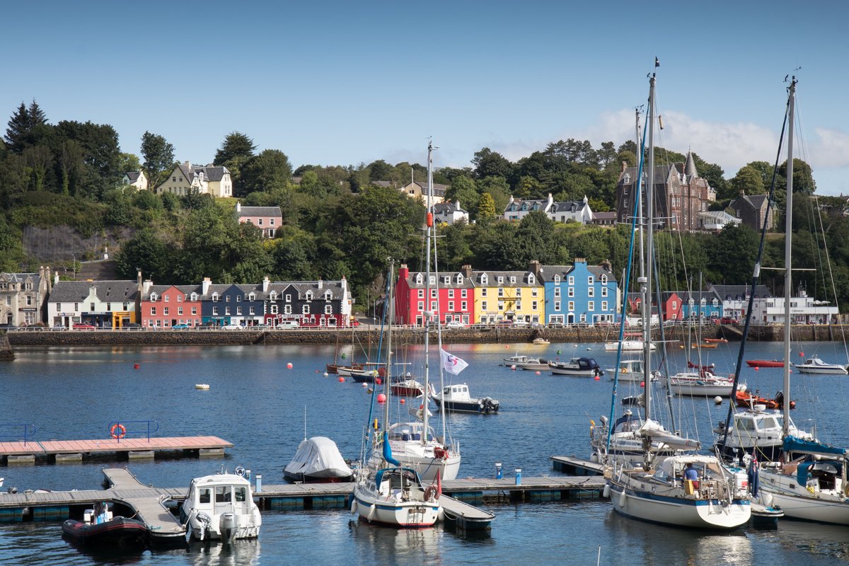
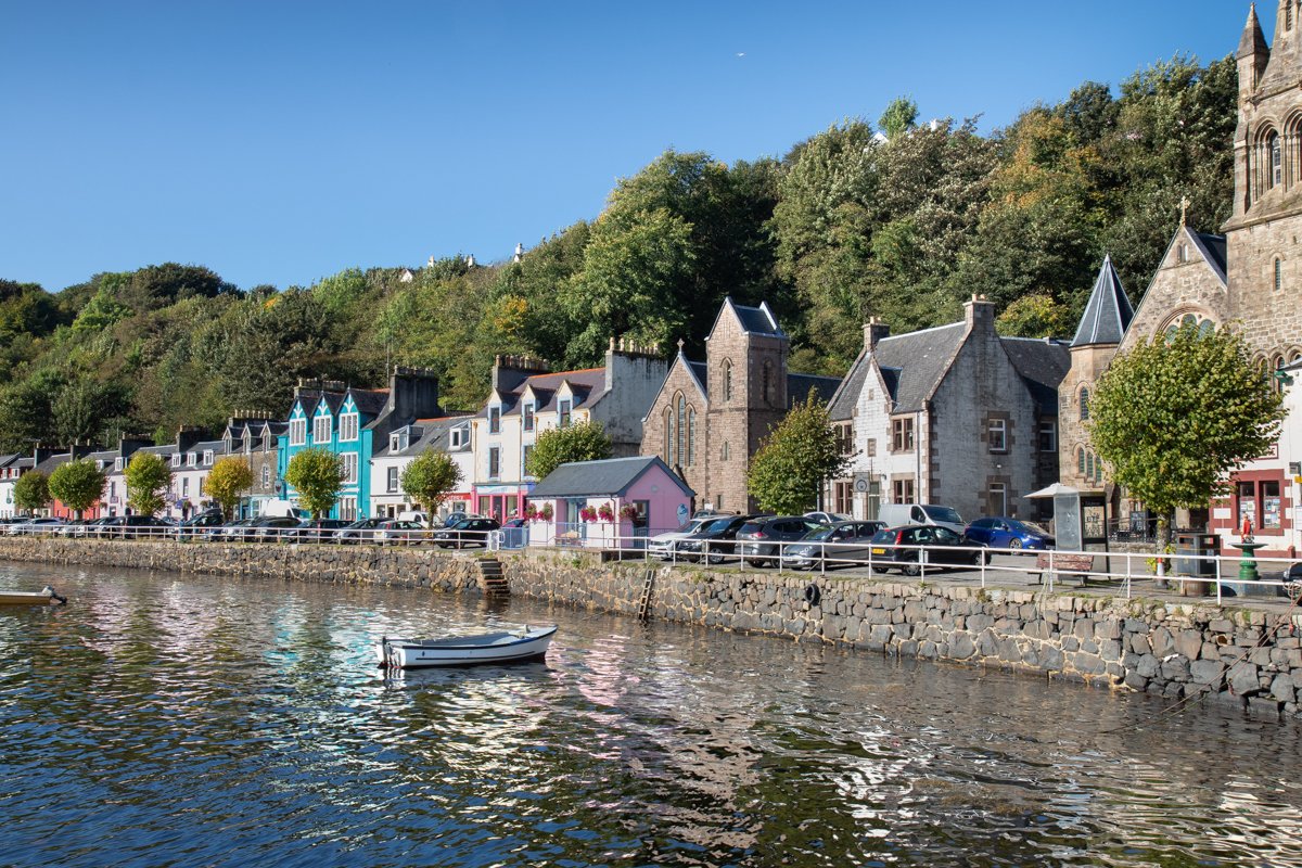
Tobermory | North Mull
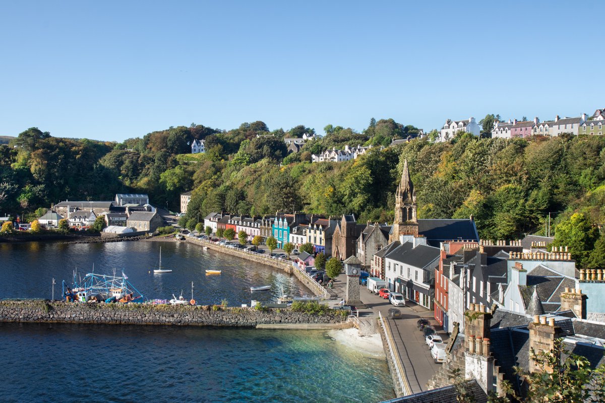
Tobermory (meaning Mary's Well) is the main town on the Isle of Mull and is the island's ‘capital' and main centre of population (approximately 900 residents). The town was designed by Thomas Telford - an engineer from Dumfriesshire, and was founded in 1778.
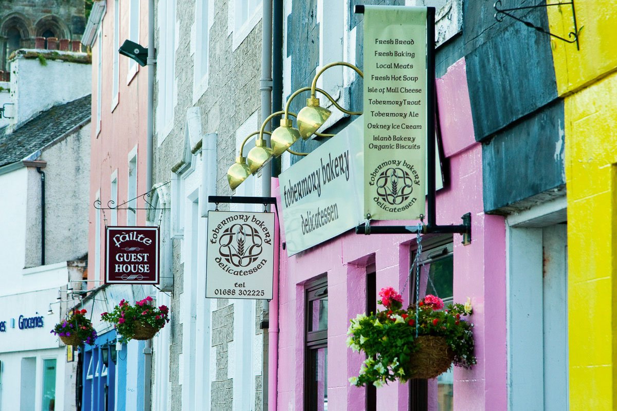
Tobermory has a busy and bustling feel to it, and there are excellent cafes, shops, art galleries and restaurants to enjoy. There are regular events at the arts venue (An Tobar) and Mull Theatre throughout the year. The Tobermory Harbour building also houses a chandlery, Seafare, and facilities for the visiting recreational boats that use the nearby pontoon, bringing more visitors during the summer months.
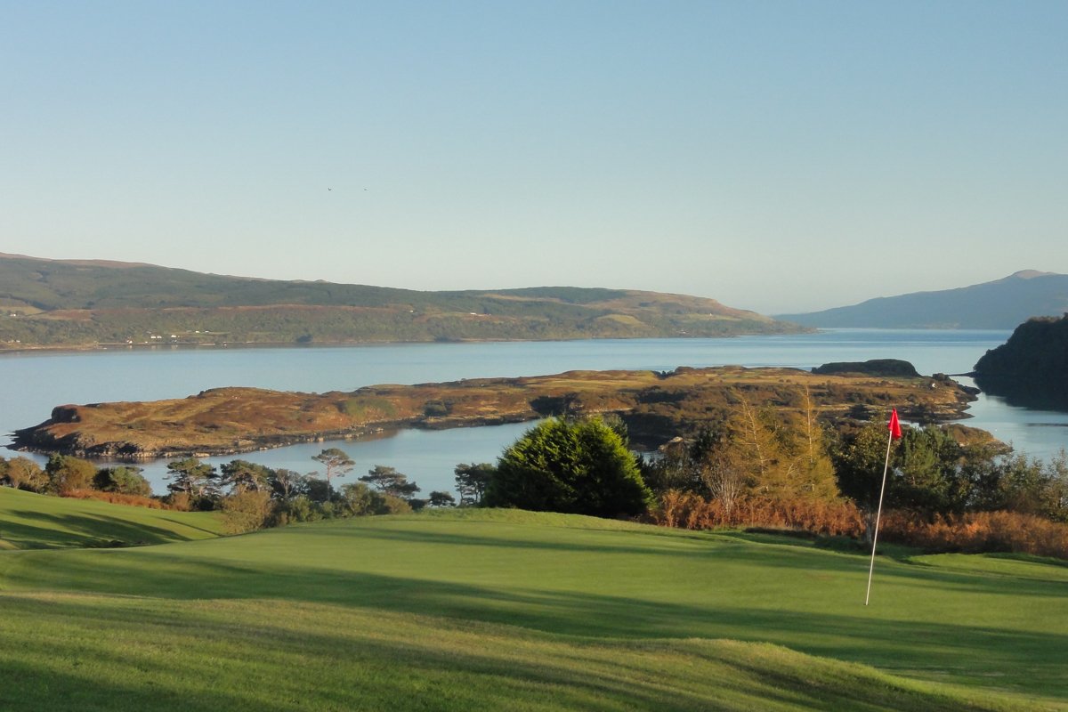
Tobermory is situated around a beautiful and deep natural harbour. Woodland, small cliffs and many waterfalls form the harbour's edge. Calve island protects the harbour from the east, where there is an opening to the Sound of Mull.
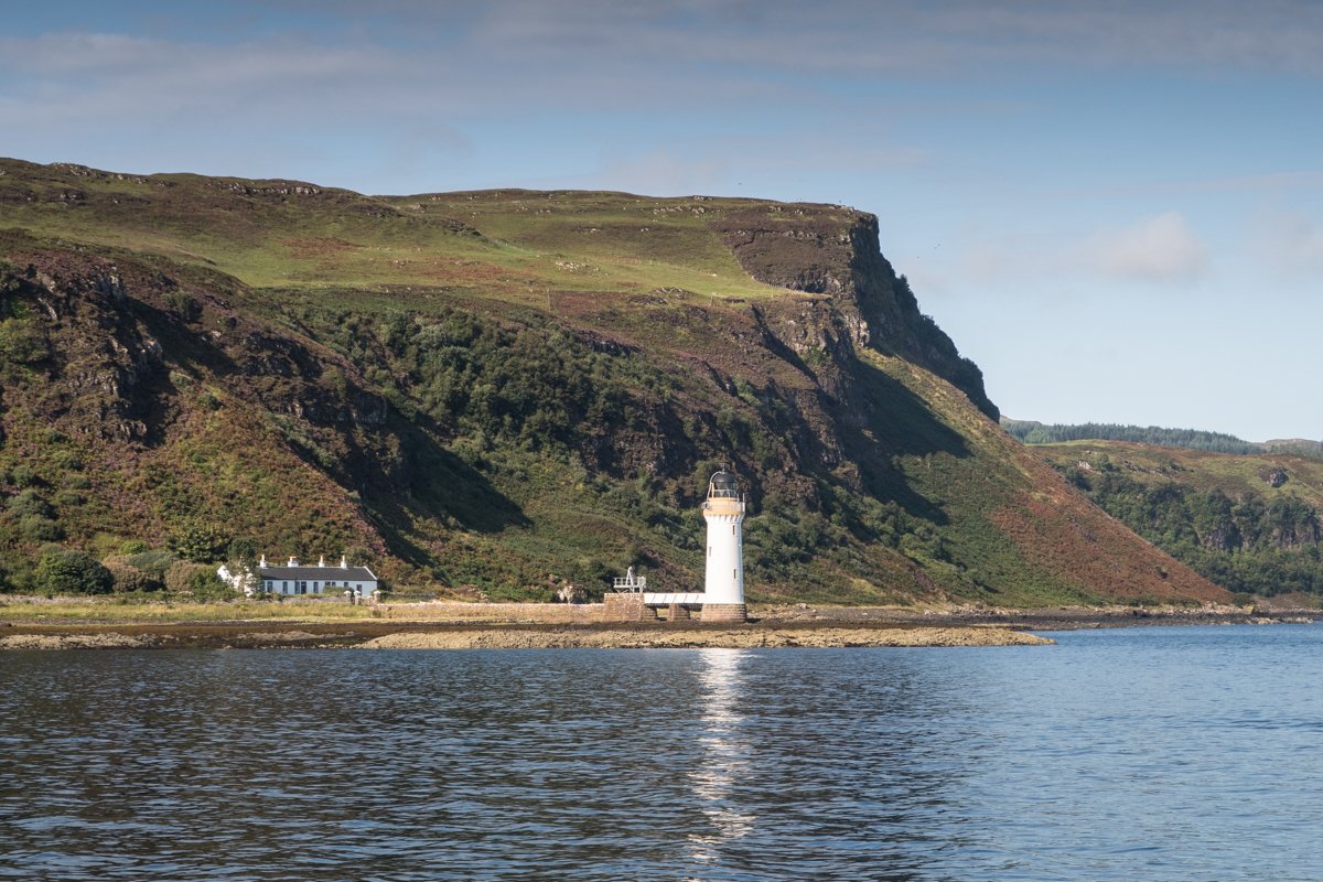
There are excellent walks from the town in both directions following the coast. The Aros Park track leads to a fine circular walk around a freshwater loch where there are also some impressive waterfalls. In the opposite direction is the path to the lighthouse (Rubha nan Gall) which offers excellent views into Loch Sunart.

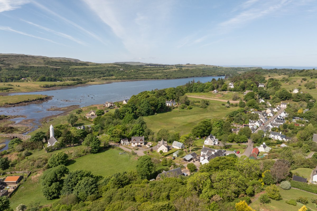
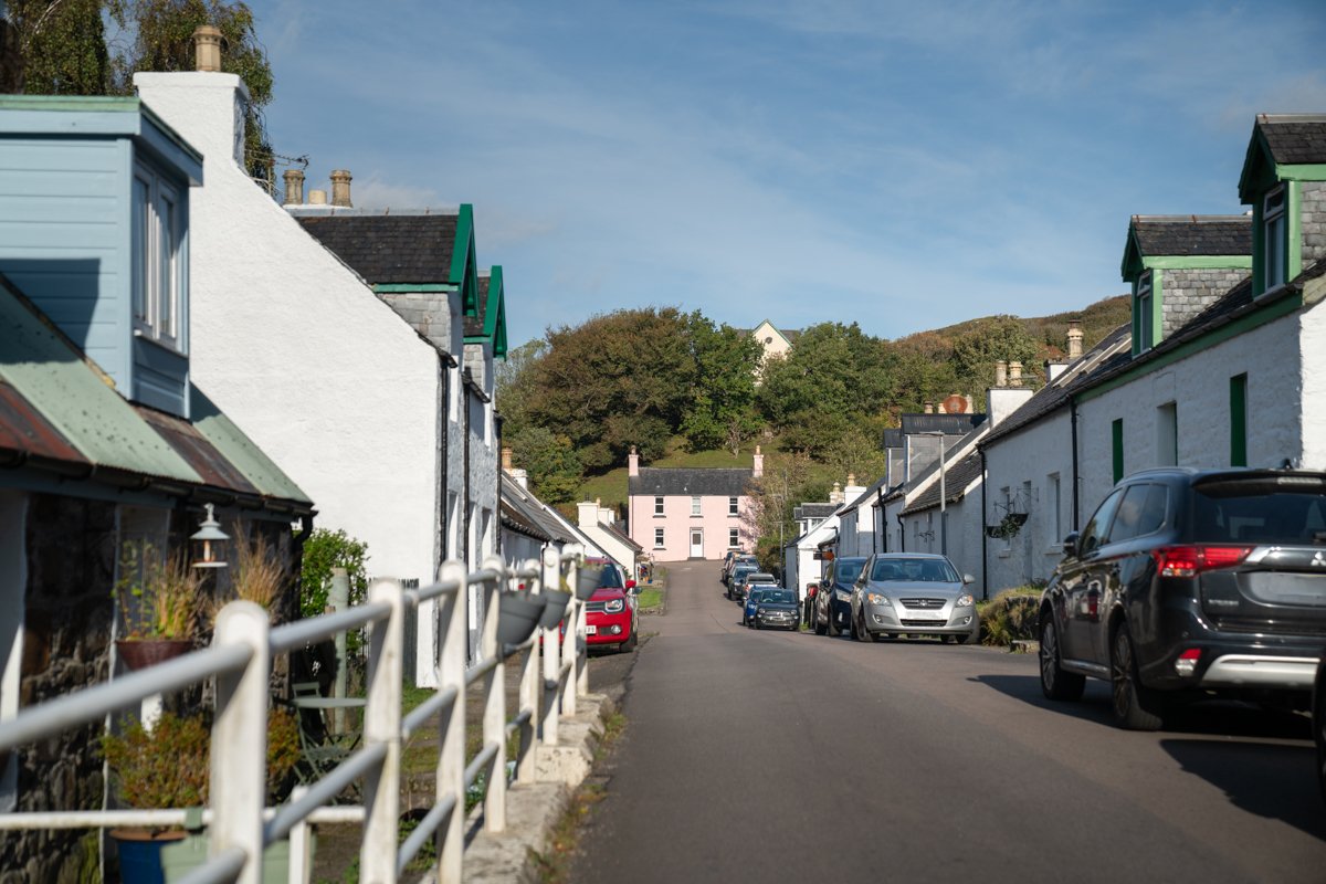
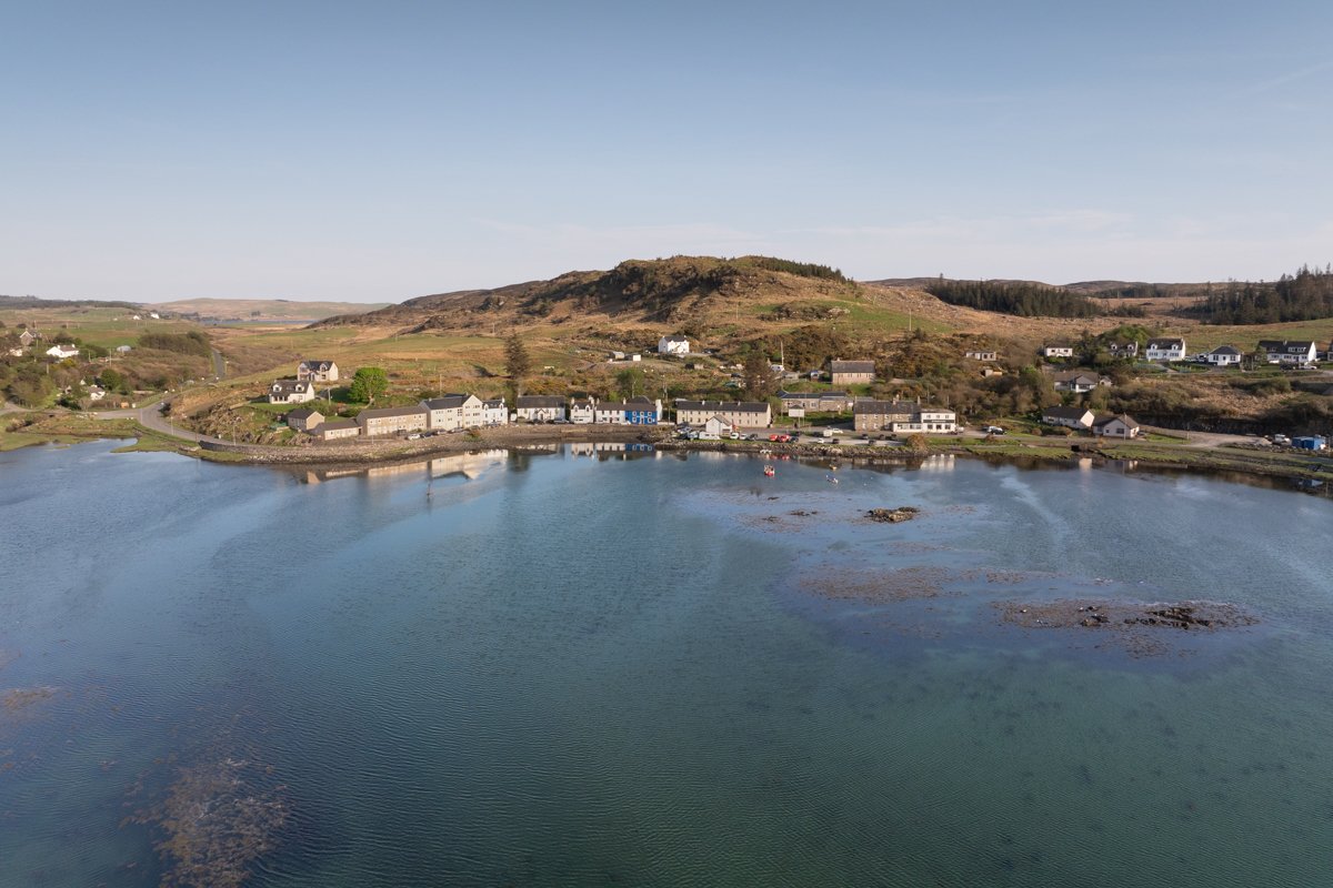
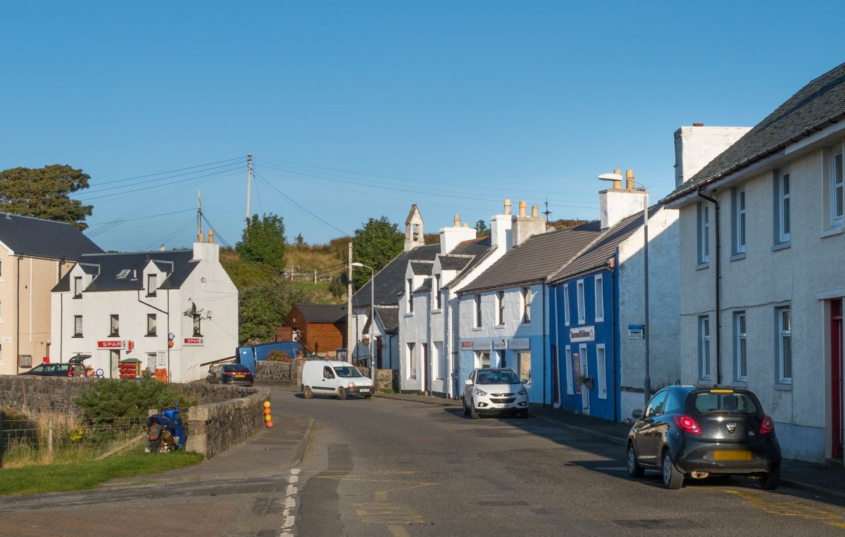
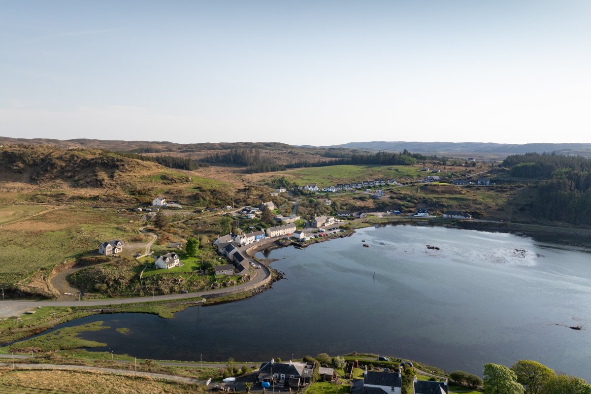
Dervaig | North Mull
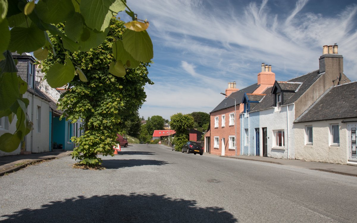
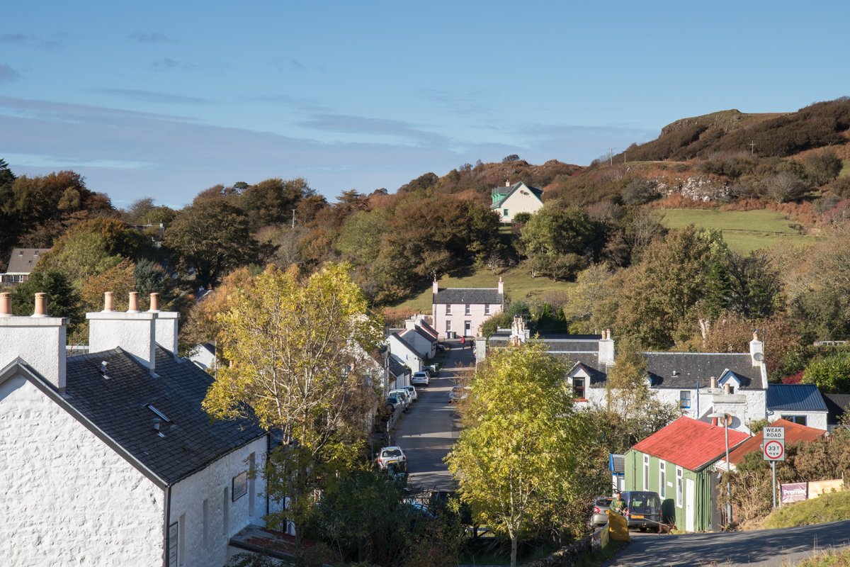
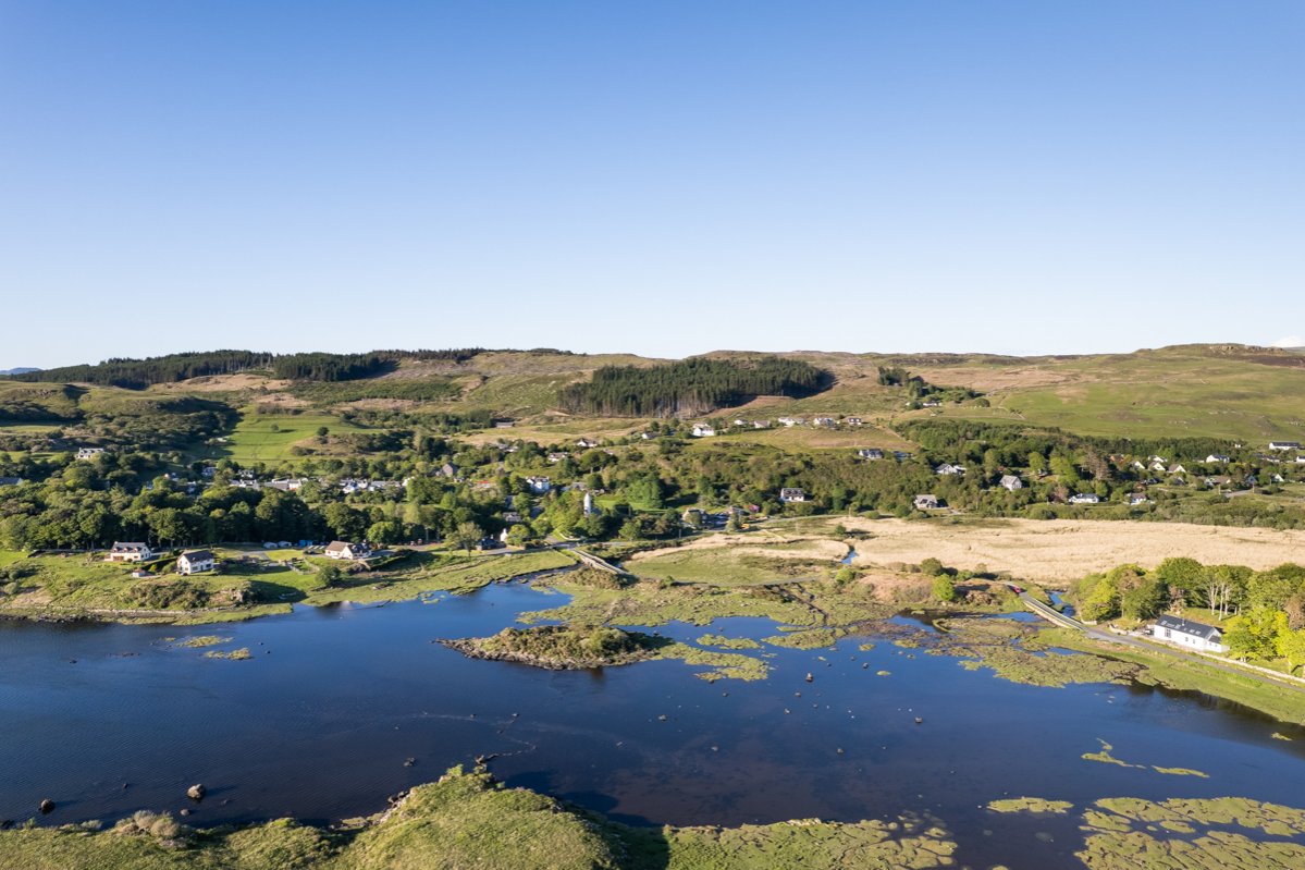
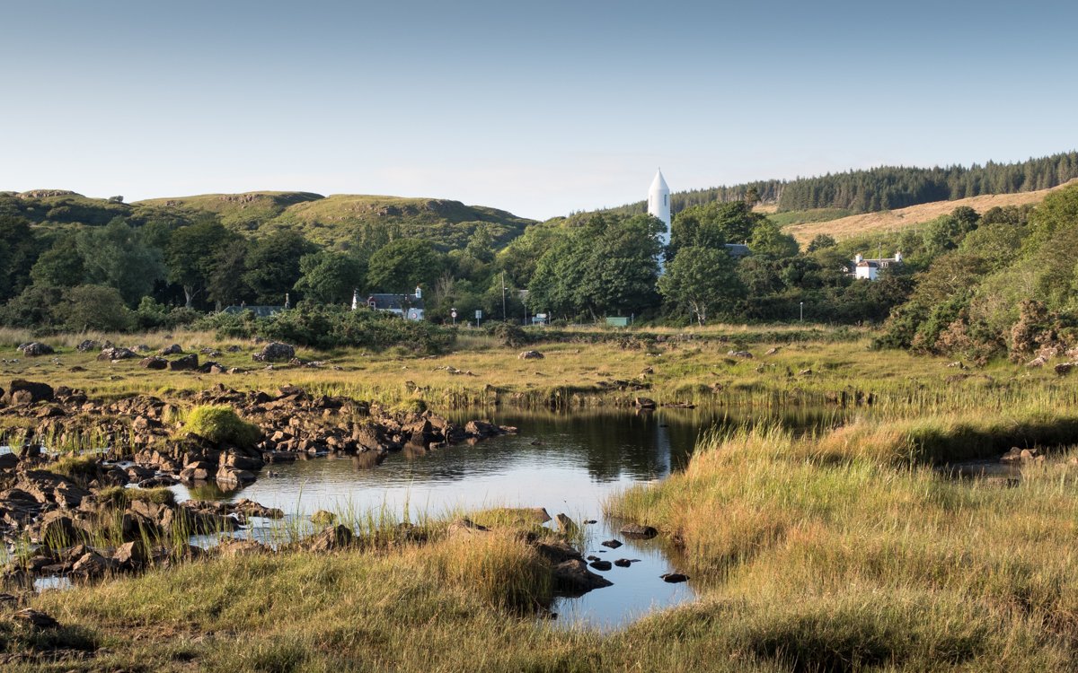
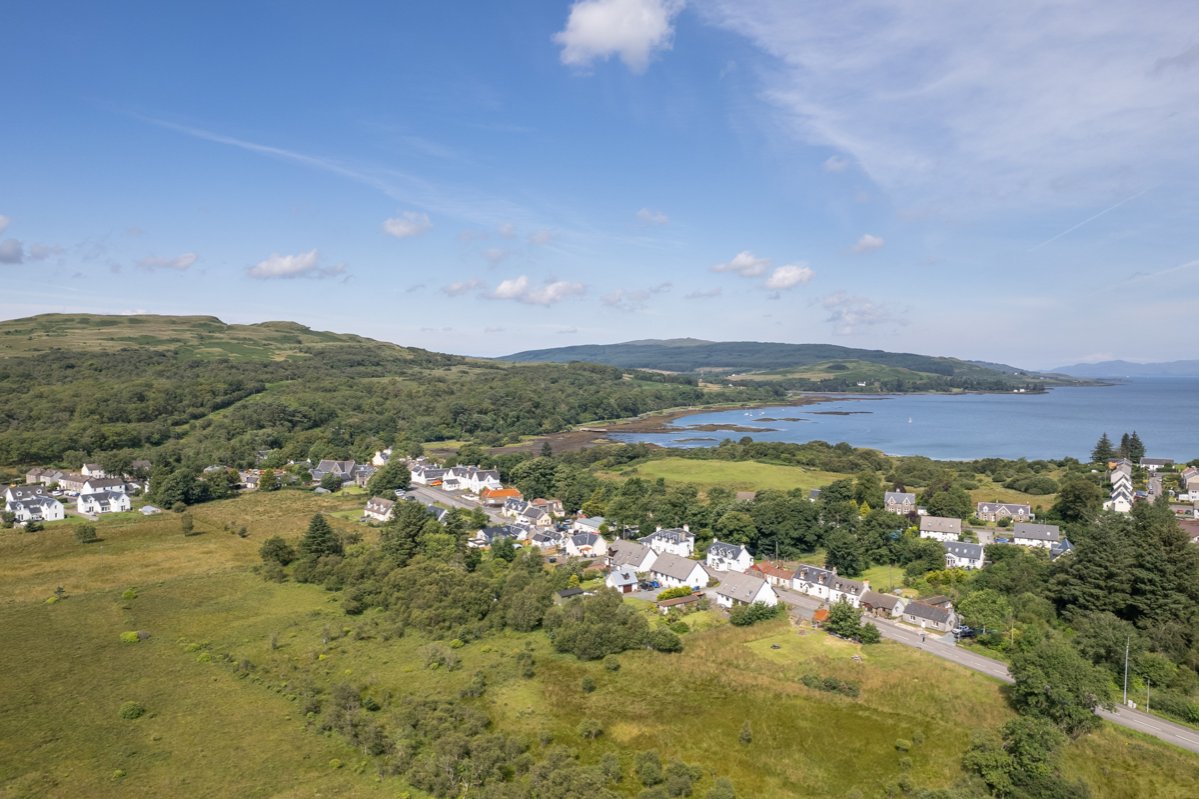
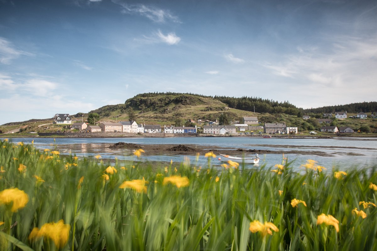
Dervaig (meaning good inlet) is situated on the Isle of Mull's north coast. The village is located midway between Tobermory to the east, and Calgary to the west. The village is set besides Loch Cuin a beautiful tidal loch which is protected from the open sea by a rocky narrows.
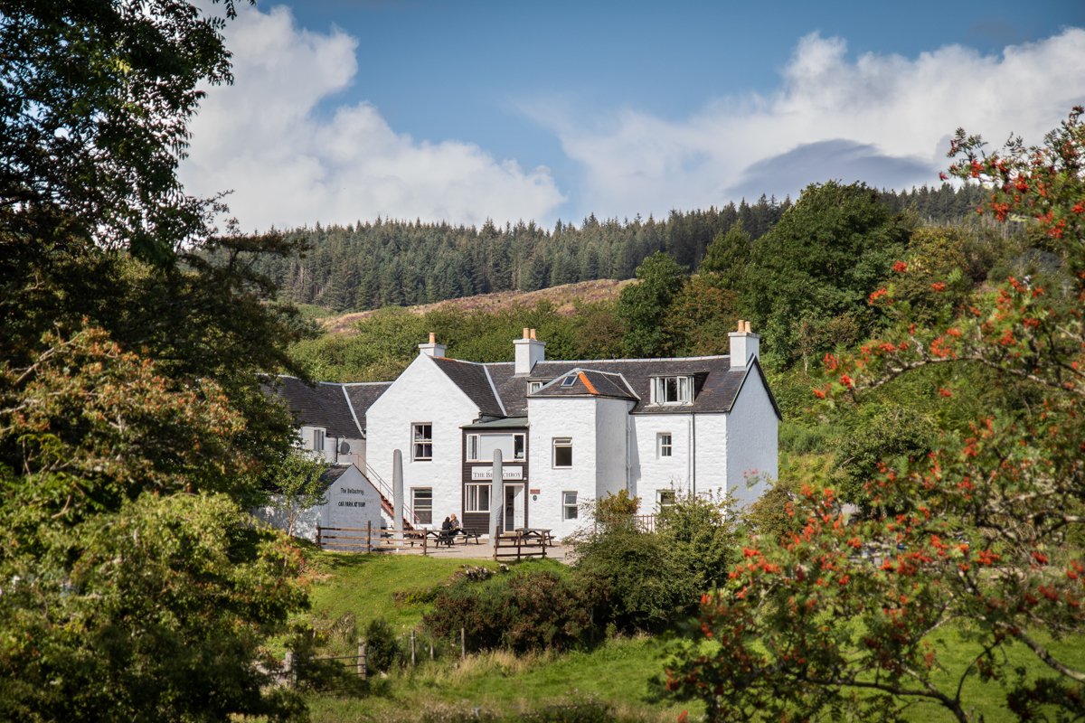
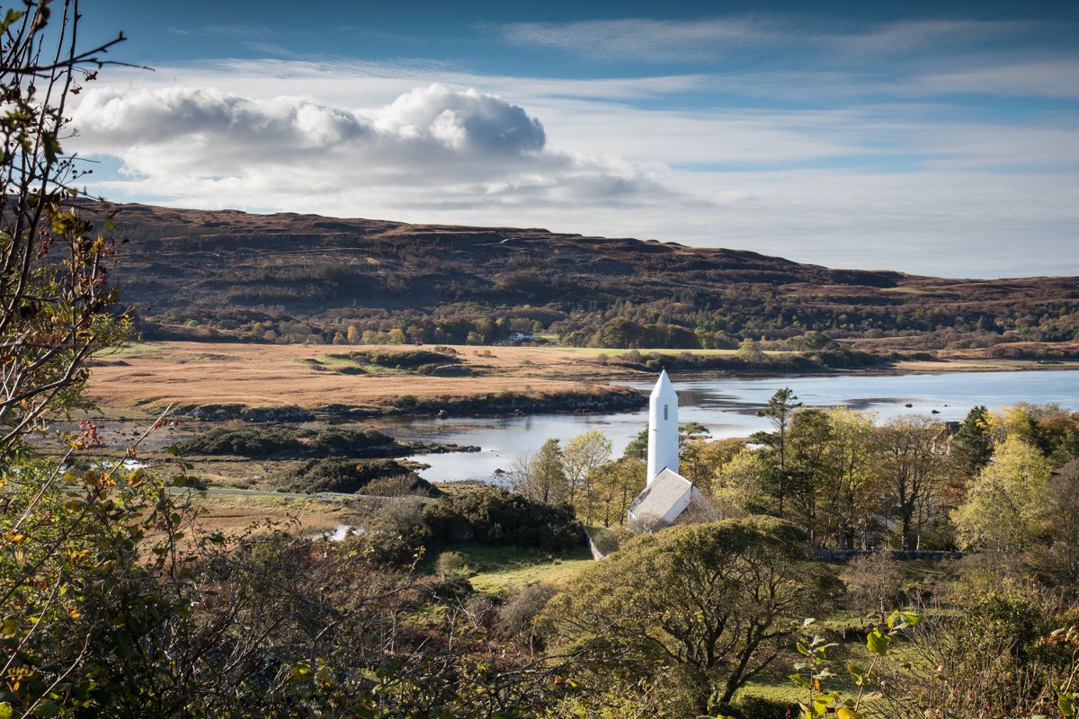
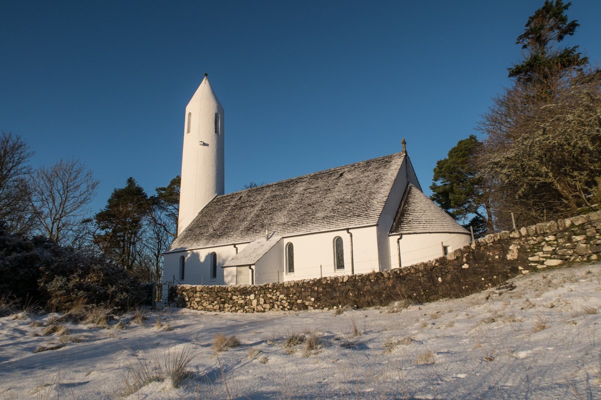
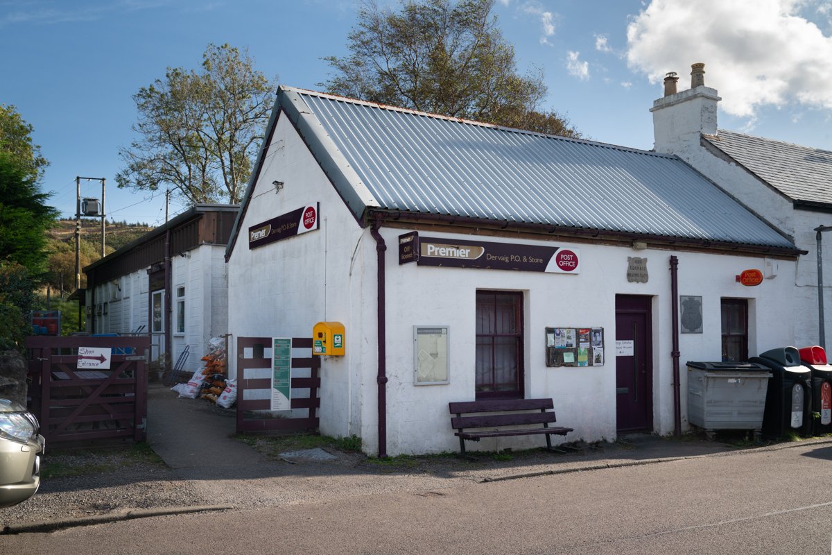
Dervaig is home to the oldest inn on Mull; the Bellachroy (1608) which has a bar and serves food. Kilmore church with its distinct round tower is one of the village's iconic landmarks. There is an excellent village shop in Dervaig and a couple of restaurants within a short driving distance.
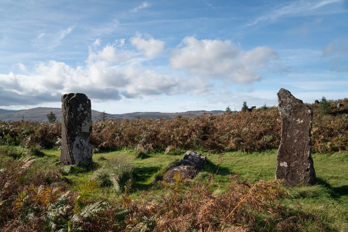
The area surrounding the village is a mix of uplands, woodland, rocky coast and sandy beaches. There are great walks from the village such as the track to Quinish point, which can be made into a circular walk via Loch Torr. The area is abundant in wildlife; otters are frequently seen in Loch Cuin, eagles are present, and the seas off the coast offer good basking shark and whale sightings during the summer months.
Central Mull

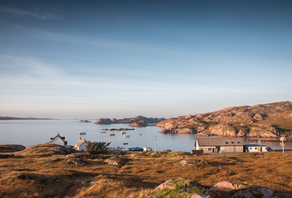
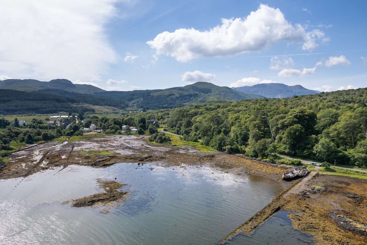
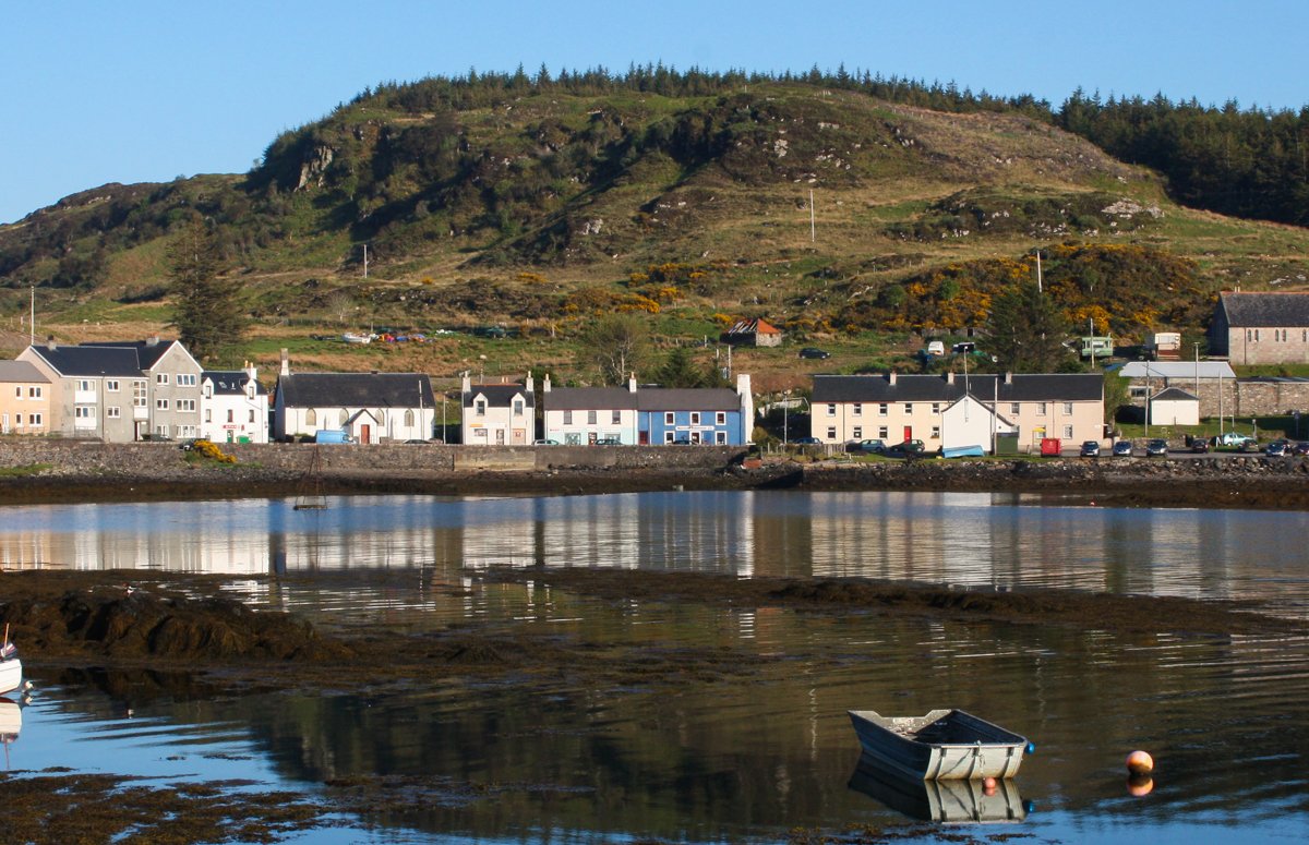
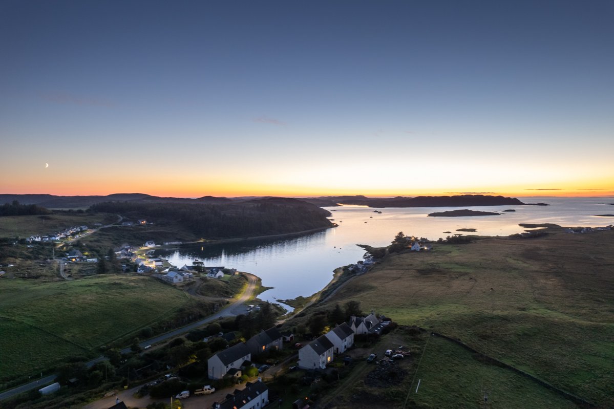
Salen | Central Mull
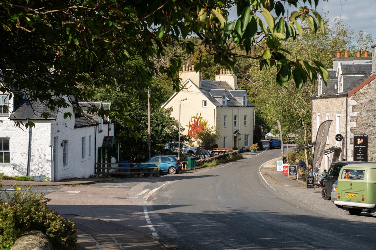
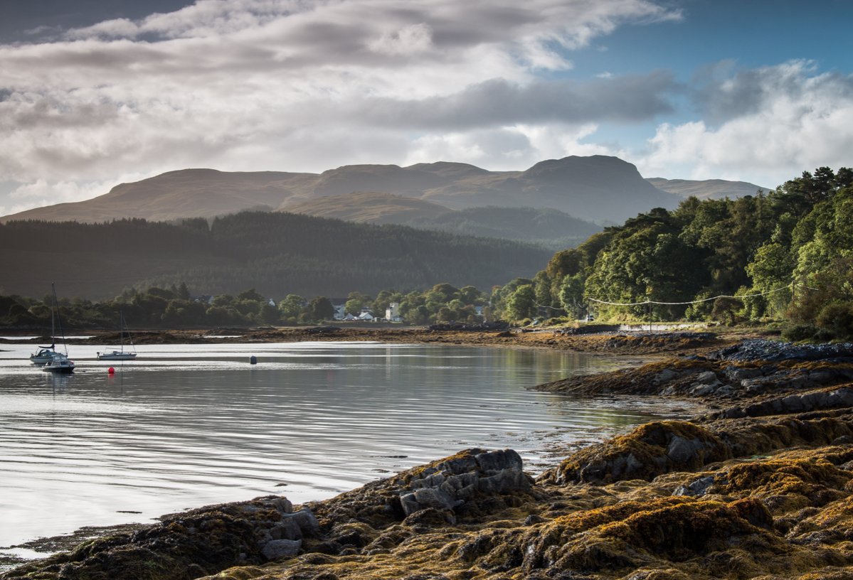
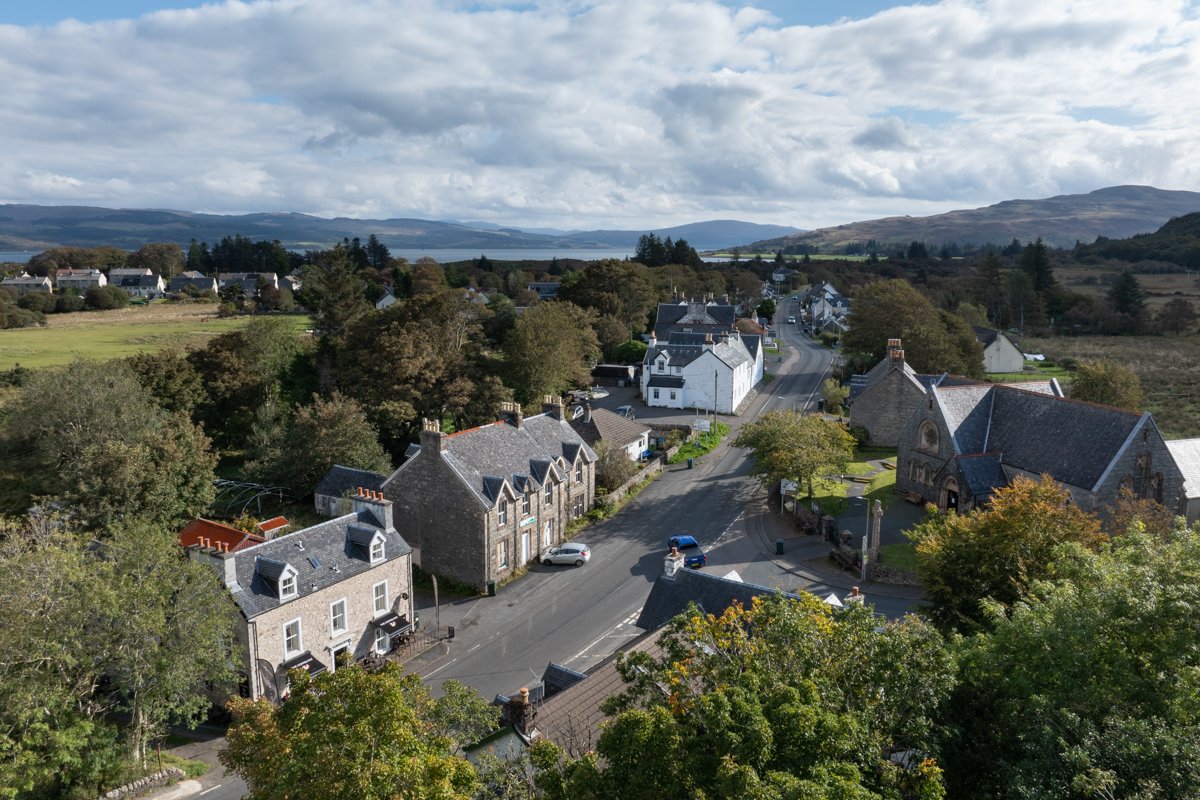
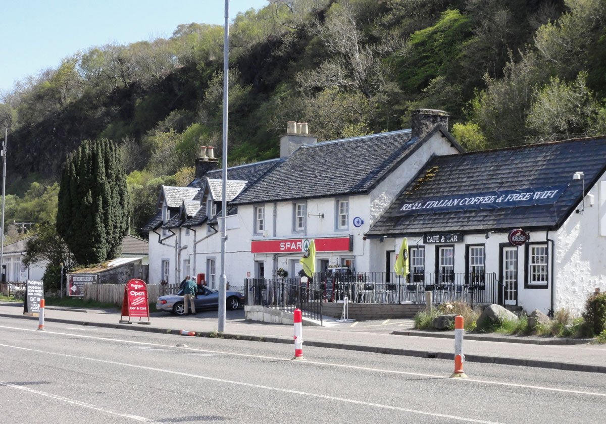
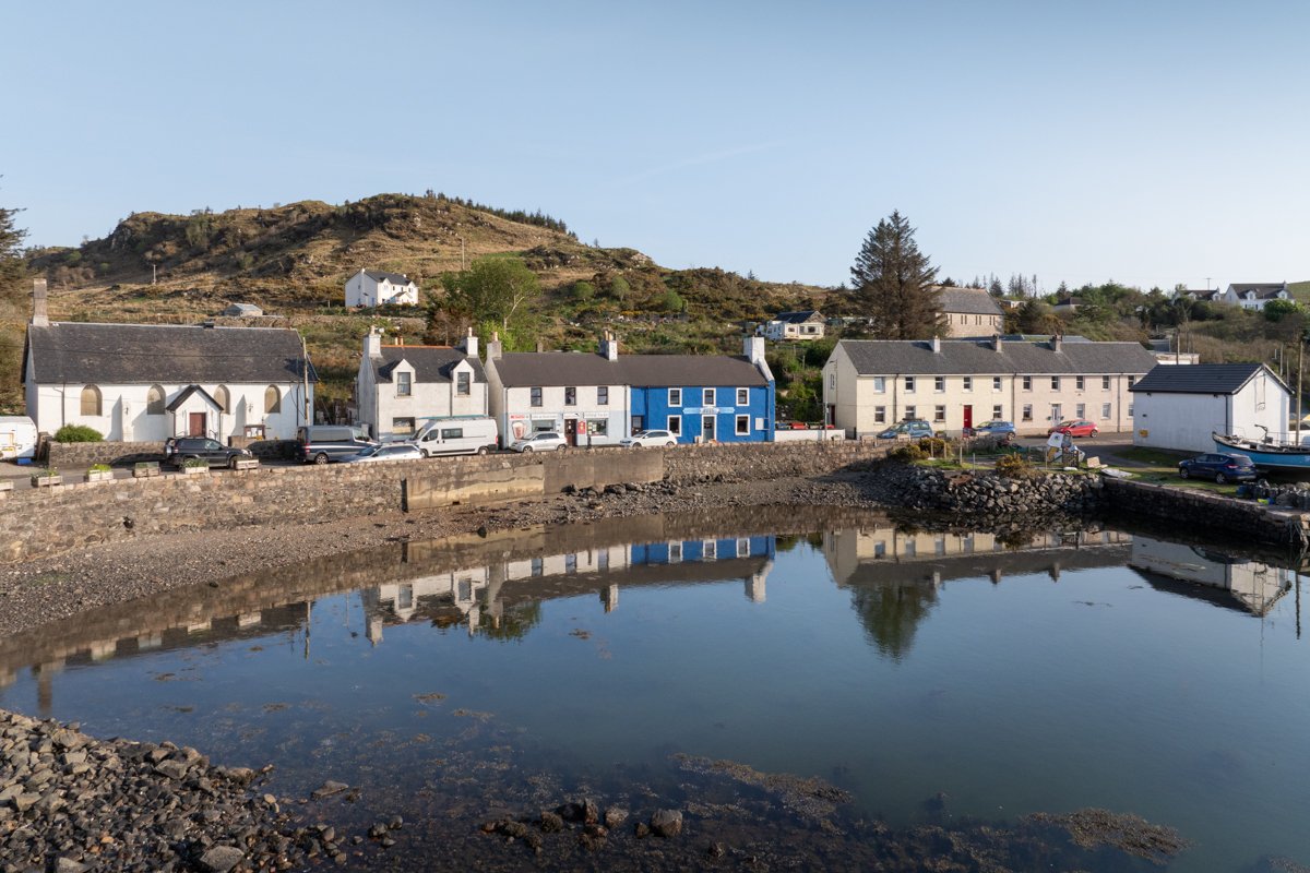
Salen (meaning small inlet) is located on the Isle of Mull's east coast approximately midway along the length of the Sound Of Mull. The village acts as a hub for many islanders as its location is accessible by those living in both the north and central areas of Mull.
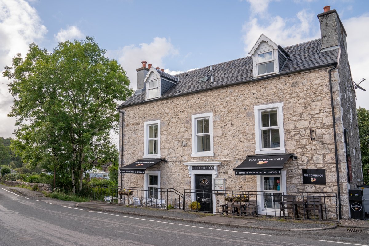
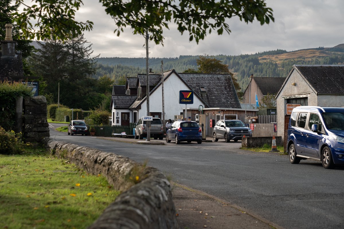
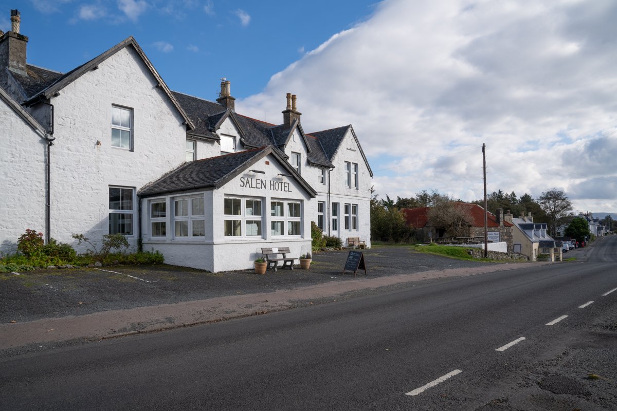
The village centre is based around a main street, which carries through traffic between Craignure in the south and Tobermory in the north. There is a village shop and post office, garage, fish and shellfish shop, garden and tool suppliers, filling station, church, doctors, licensed hotel and several cafes.
The village is set just in from the coastline at the head of Salen bay. A back road leads to the old pier, which at one time was a busy thoroughfare for goods onto the island. Near the old pier is a second smaller pier which is still in active use by a hand dived scallop fishery.
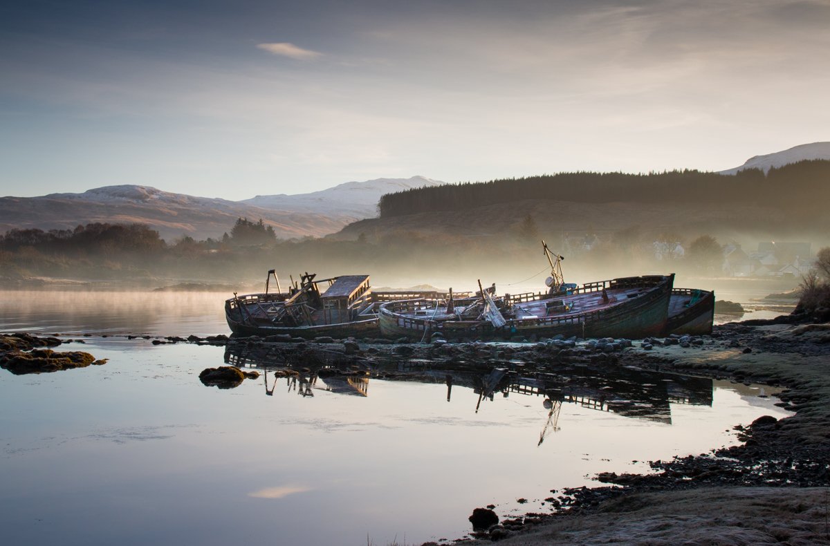
On the outskirts of Salen are the old fishing boats which are a much photographed stopping point for visitors. The bay here is a haven for otters and seals and sightings are frequent. Good walks can be taken from the village centre passing though woodlands and over the higher hills that fringe Salen.
South East Mull

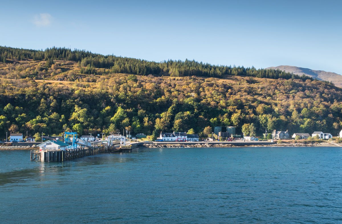
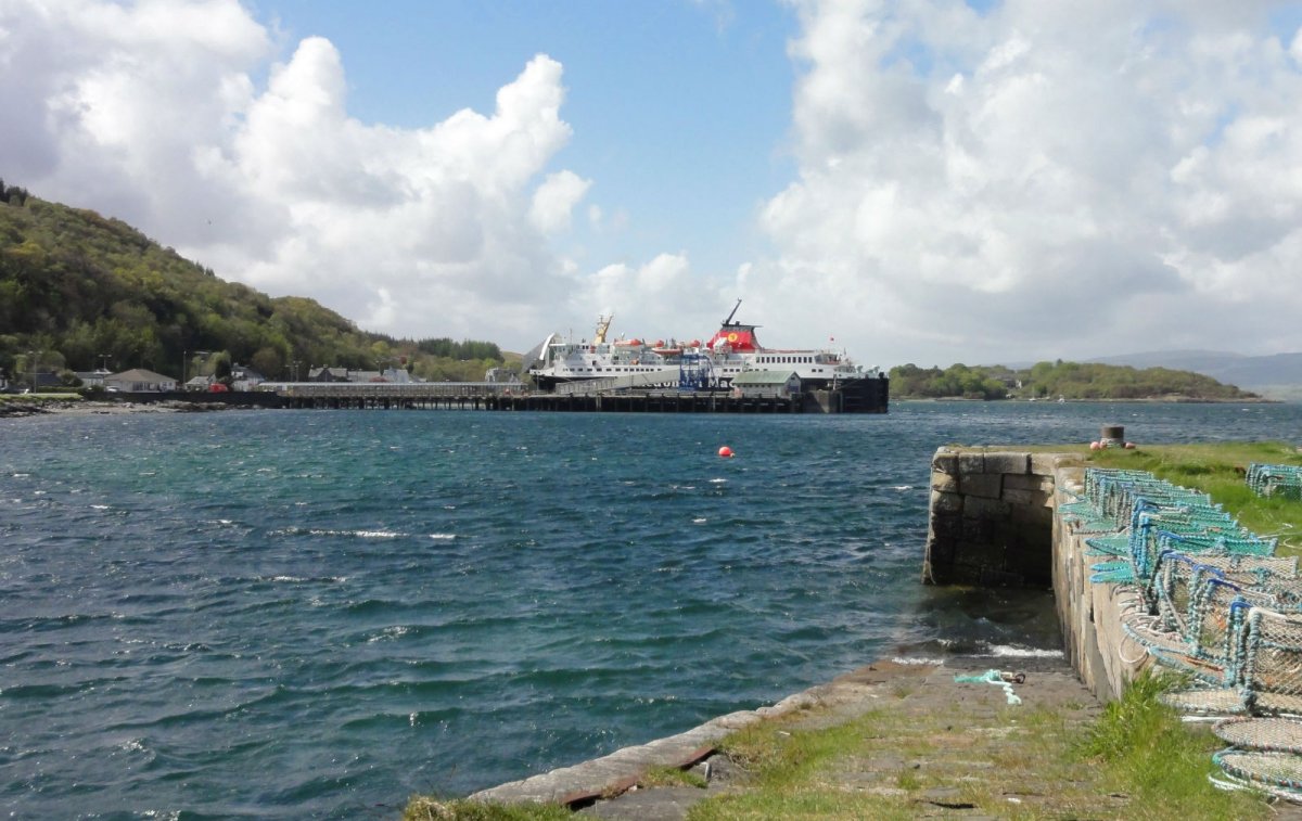
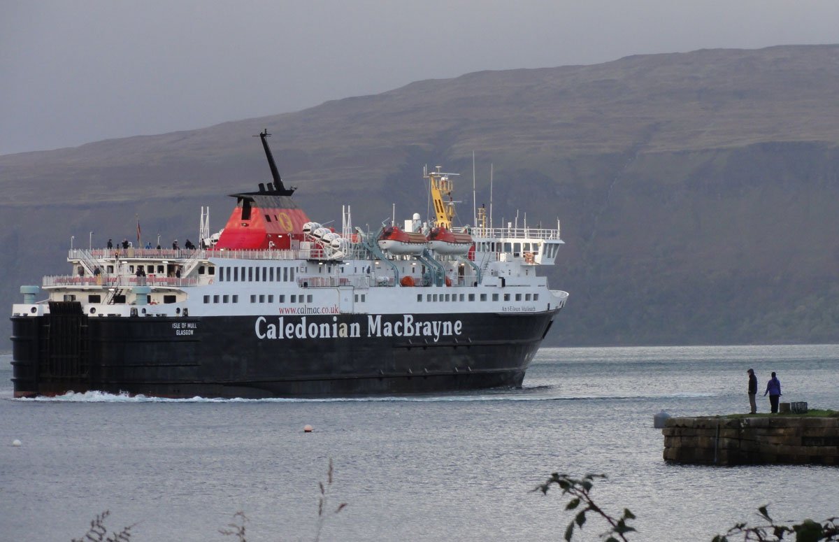
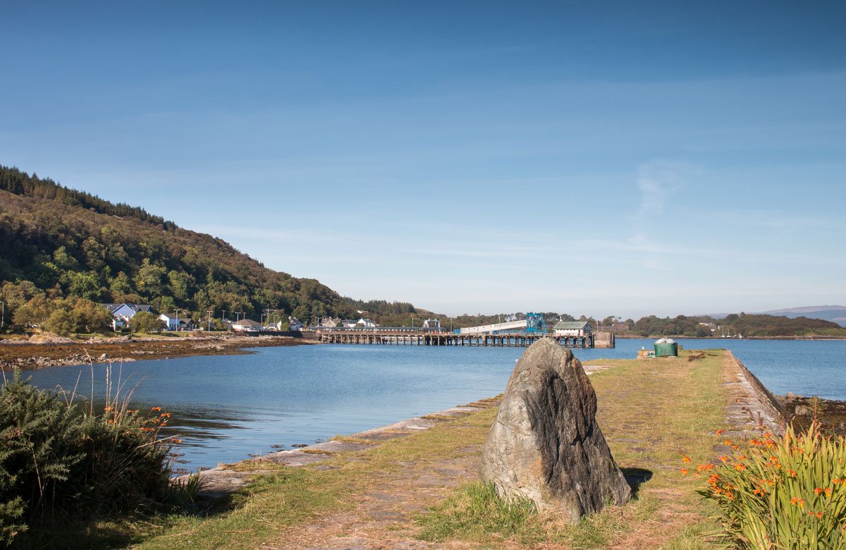
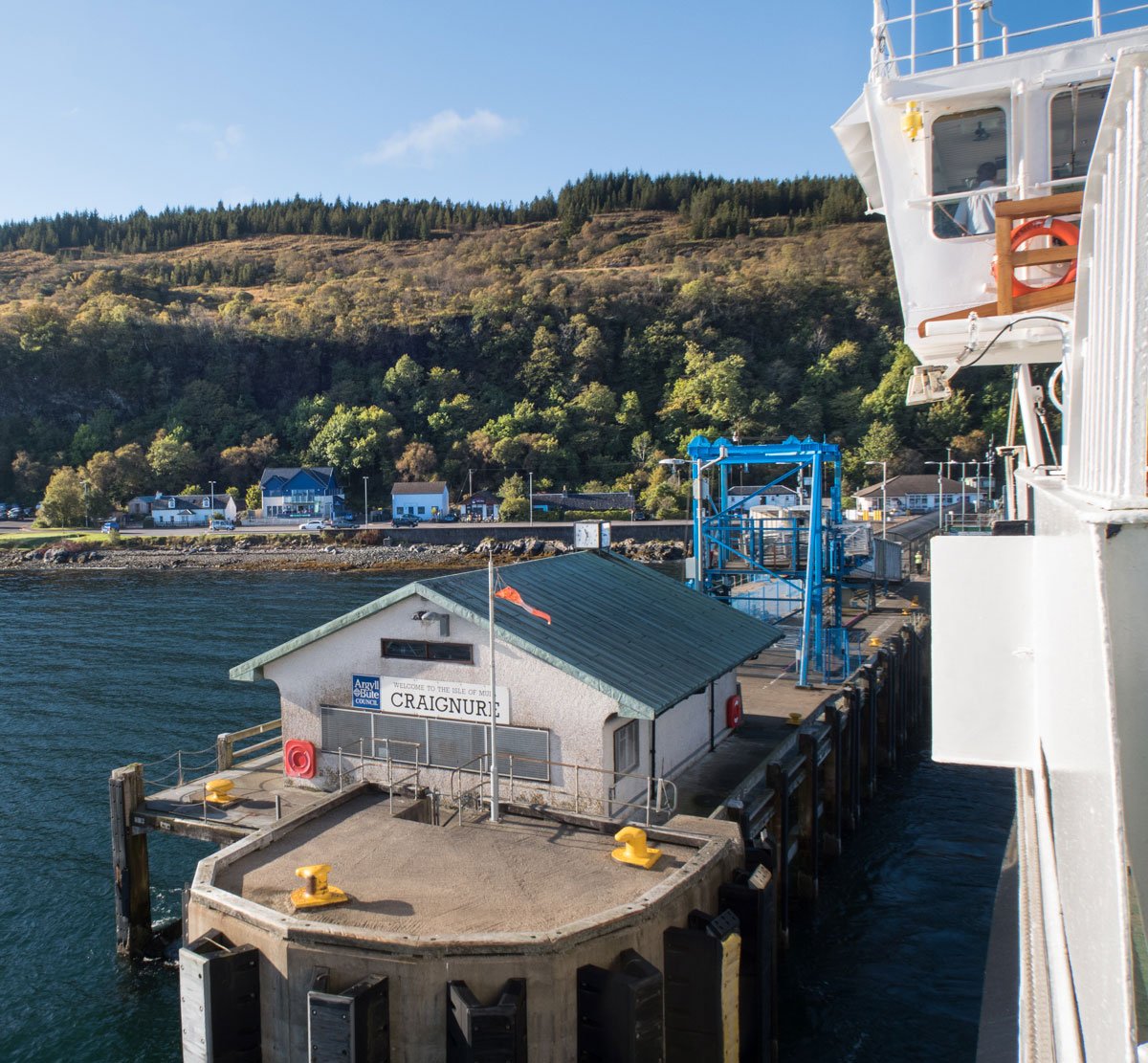
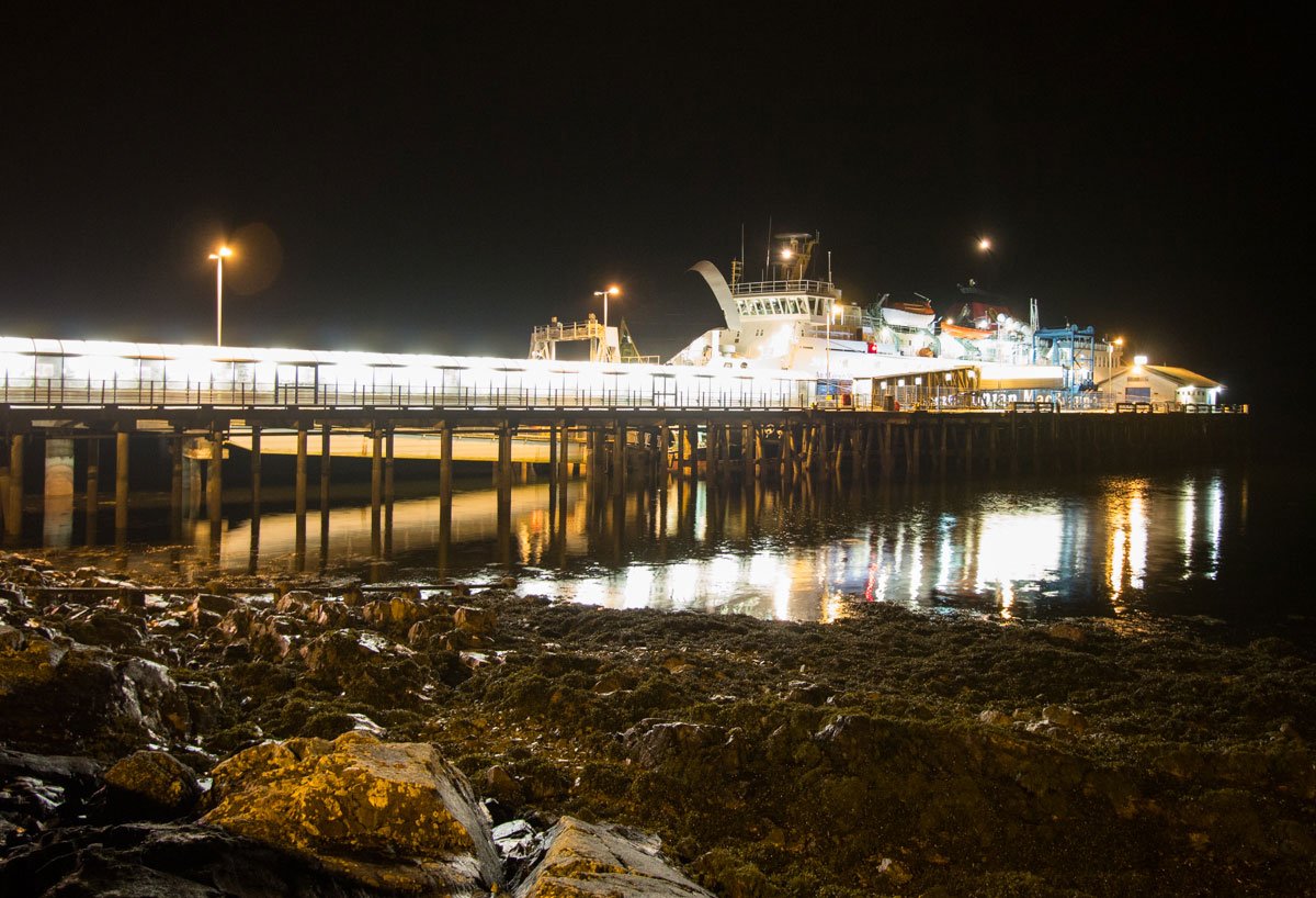
Craignure | South East Mull
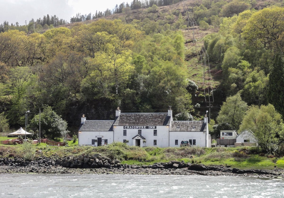
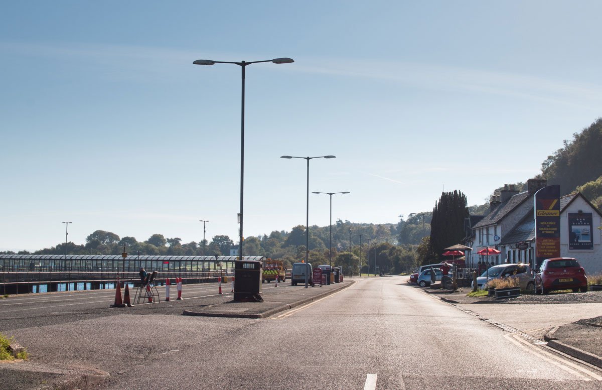
Craignure (meaning rock of the yew) is located in the Isle of Mull's south east corner and is the main ferry port for the Isle of Mull. Craignure runs alongside the shore of Craignure bay, and is backed by steep wooded cliffs.
The village has a shop with fuel pumps, a charity shop, cafe, bar, garage, a building suppliers and the Craignure Inn - which has a bar and serves food. There is the Isle of Mull swimming pool on the outskirts of the village, and the attached hotel also serves food.
Craignure is a bustling port when the ferry arrives, and the sea views across the bay looking up Loch Linnhe towards Ben Nevis are stunning.
There are good walks from Craignure. Scallastle is a forestry commission walk with picturesque waterfalls. Heading south there is an excellent woodland walk that leads to Torosay castle (gardens occasionally open to visitors).
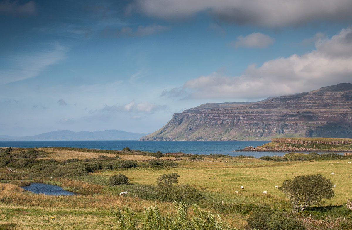
South West Mull

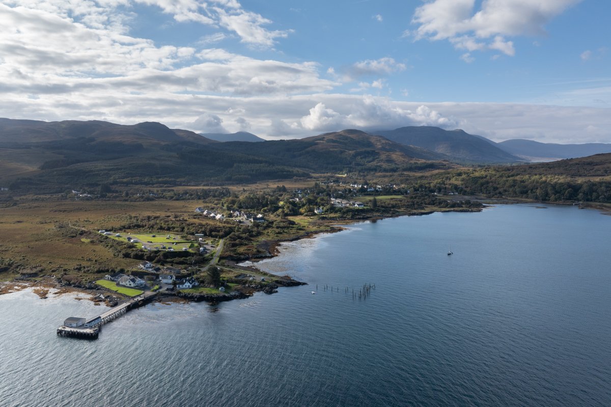
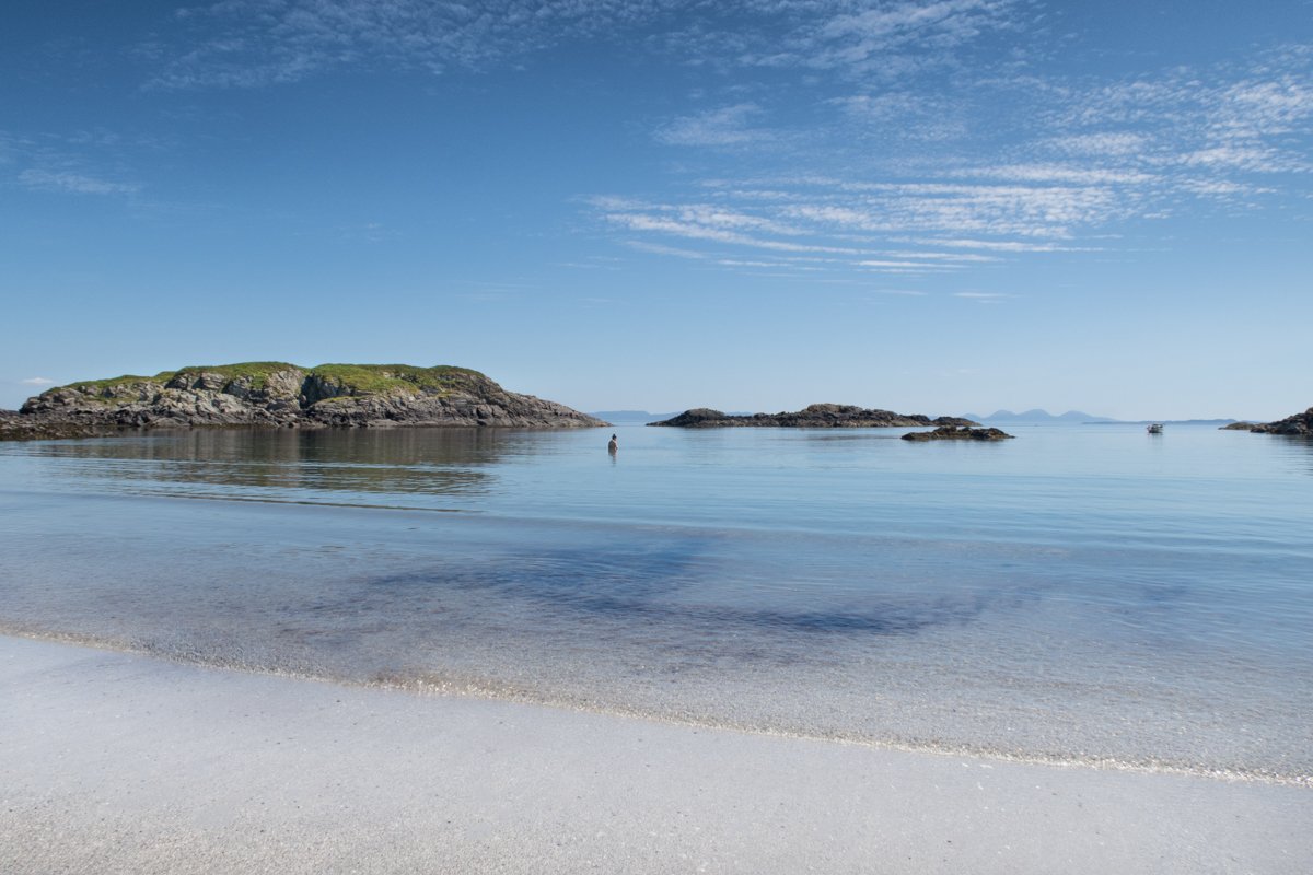
Bunessan | South West Mull
Bunessan is situated on the Ross of Mull at the head of Loch na Lathaich. The village centre is a crescent of buildings set around the head of the bay. The buildings look north across the loch and past Eilean Ban towards the open sea.
Bunessan has a couple of village shops, a charity shop, church and a pub that serves food. There is also an historical centre which is a good resource for those wising to learn more of the history of this part of Mull.
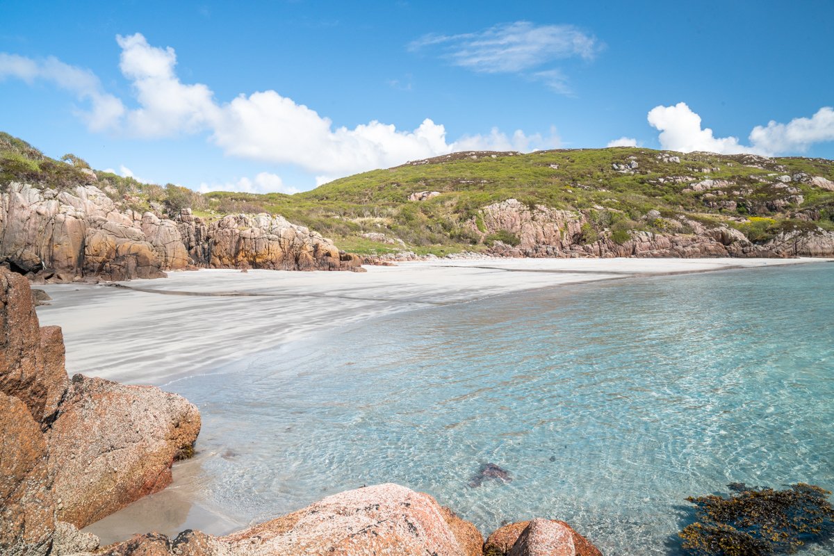
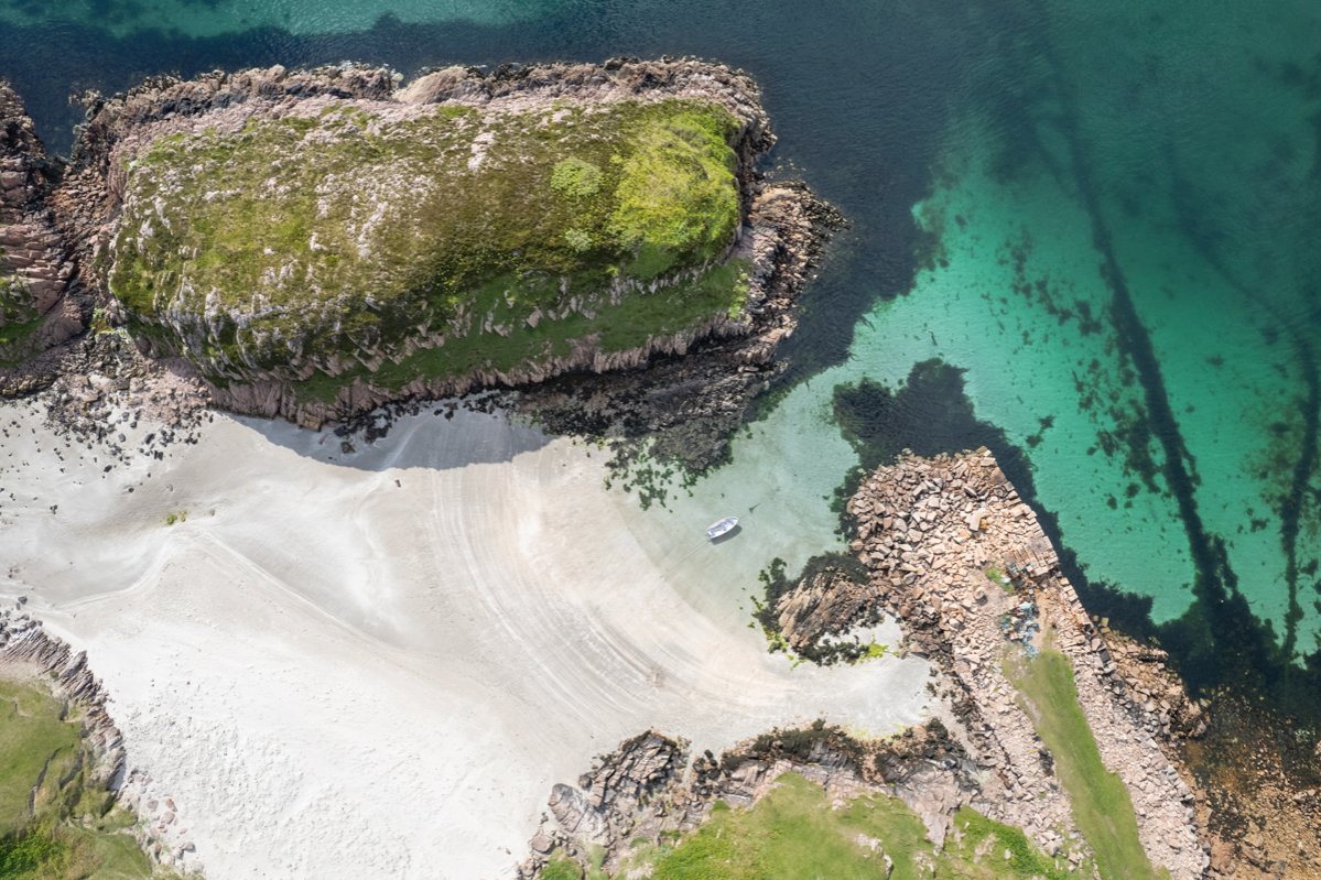
The area around Bunessan has a strong crofting history and there are still outlying settlements which are served by the village amenities. There are excellent beaches just a short distance to the south of the village, and good walks including fossil beds at nearby Ardtun.
On the outskirts of the village is the main pier, which is still in use by the many fishing boats that are based nearby.

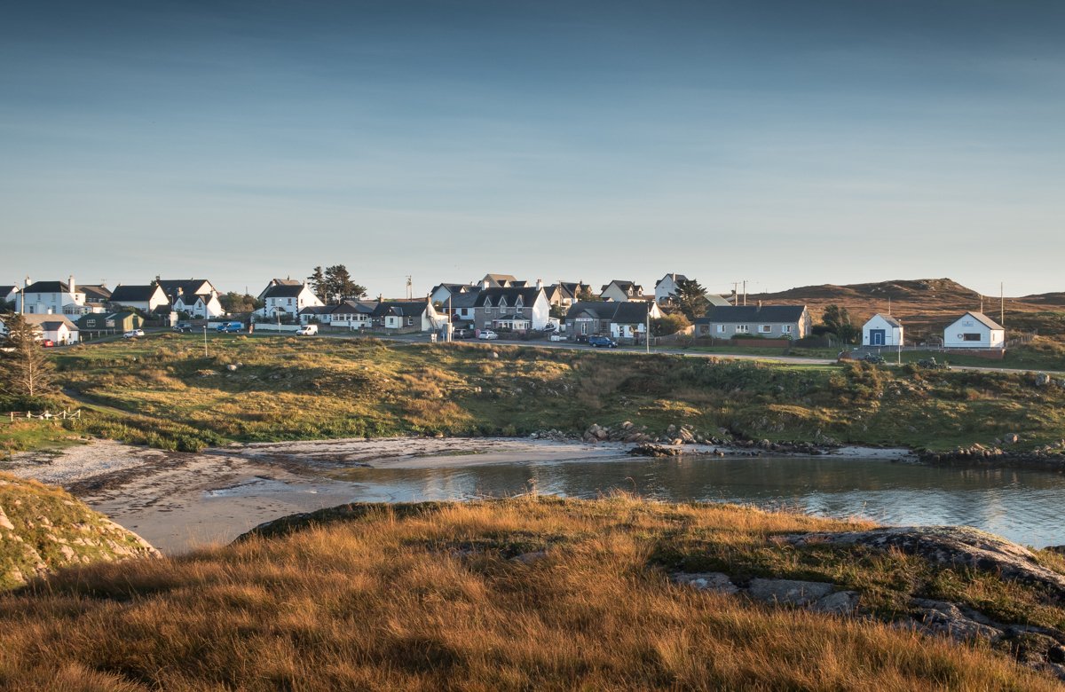
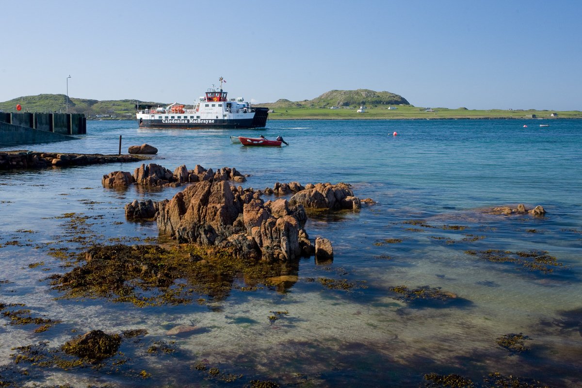
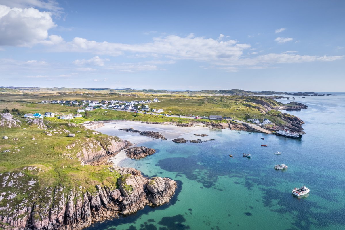
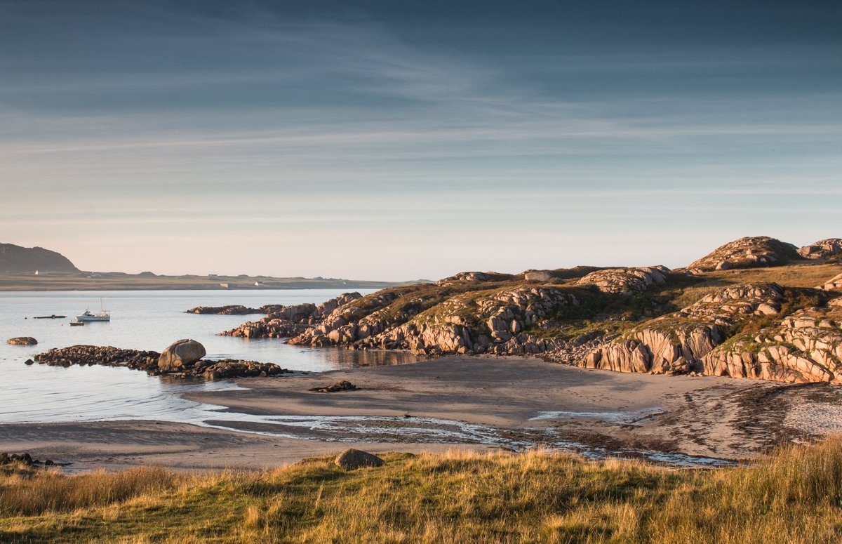
Fionnphort | South West Mull
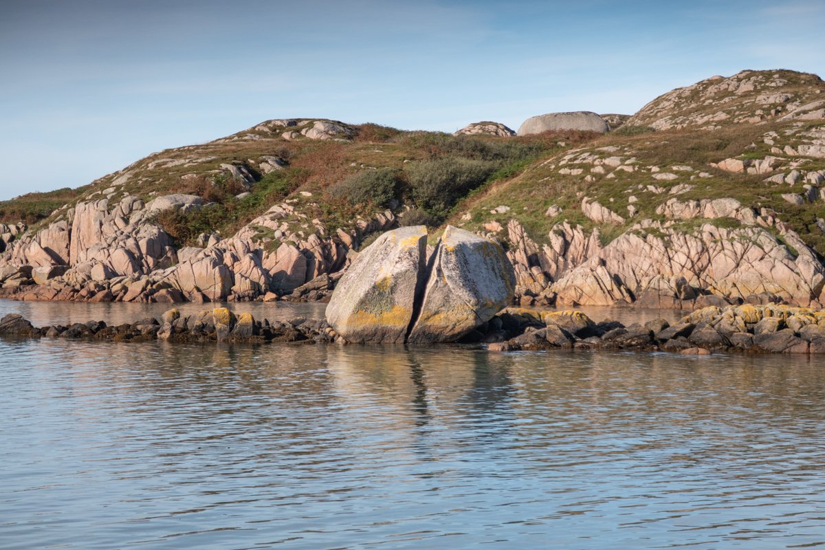
Fionnphort (meaning white harbour) is located on the south western most tip of the Isle of Mull. The village has a stunning setting beside a sandy beach with a large split granite boulder at its centre. Fionnphort is the access point for visitors wishing to travel across to Iona.
The village has a well stocked shop, a pub which serves food, the ferry terminal, and a seafood shack which serves fresh local seafood. The highly acclaimed Ninth Wave restaurant is also in Fionnphort.
Fionnphort has some fantastic walks starting from the village centre. The surrounding coastline is beautiful and those who complete the circular walk to the now disused granite quarry, will be rewarded with some fantastic sea and coastal views. The beaches to the south of Fionnphort are arguably some of Mull's finest.
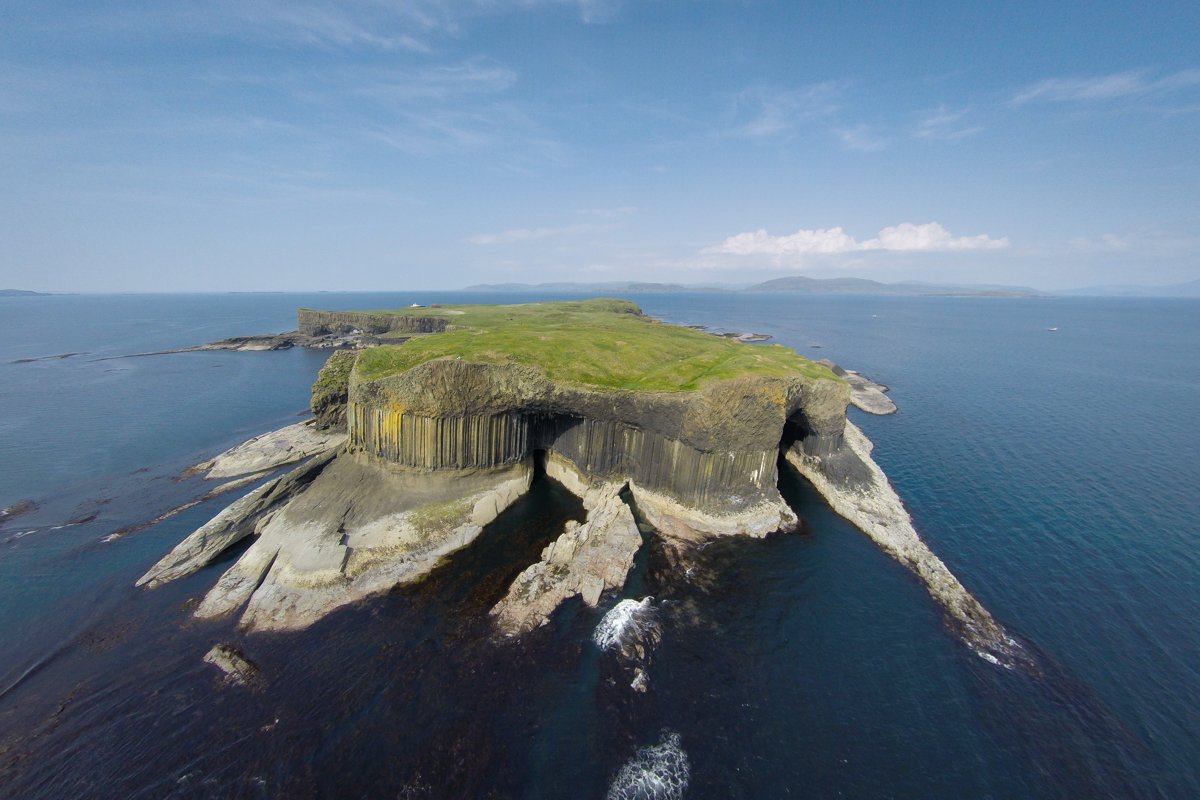
As well as an active fishing fleet, there are numerous boat trips that depart to Staffa from Fionnphort. In addition to the facilities within Fionnphort itself, visitors can make the crossing to Iona where, besides a visit to the Abbey, there are numerous shops and cafes to enjoy.